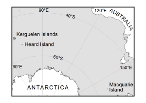
Map 13994: Heard Island and Macquarie Island in relation to Australia and Antarctica [Black and white]
Map details
| Map Number | 13994 |
| Title | Heard Island and Macquarie Island in relation to Australia and Antarctica [Black and white] |
| Edition | 1 |
| Scale | 1 : 122 830 256 |
| Publication date | September 2011 |
| Publisher | - |
| Spatial coverage |
( 60.0000° -33.0000°)
,
(160.0000° -33.0000°)
,
(160.0000° -80.0000°)
( 60.0000° -80.0000°) |
| Projection | Polar Stereographic |
| Physical size | 3.7 x 4.7 cm |
| Keywords | Heard Island , Kerguelen Islands , Macquarie Island , Relation To Australia , Relation To Antarctica |
Downloads
This is a digital map available for downloading.
Map Lists
This map belongs to the following lists. Use the link on the list to see all maps belonging to that list
Additional Information
Preview