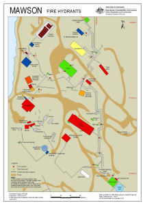
Map 14218: Mawson Fire Hydrants (Superceded)
Map details
| Map Number | 14218 |
| Title | Mawson Fire Hydrants (Superceded) |
| Edition | 3 |
| Previous edition | [Previous edition : 2] |
| Scale | 1 : 1000 |
| Publication date | June 2013 |
| Publisher |
Australian Antarctic Division (Australia)
|
| Spatial coverage |
( 62.8708° -67.6014°)
,
( 62.8769° -67.6014°)
,
( 62.8769° -67.6033°)
( 62.8708° -67.6033°) |
| Projection | Universal Transverse Mercator |
| Physical size | 42 x 29.7 cm A3 |
| Notes | This information has been superceded by the Fire Response Guidelines available at: http://records.aad.gov.au/api/record/488499/LatestFinalFile |
| Keywords | Hydrant , Hose , Reel |
Downloads
This is a digital map available for downloading.
Map Lists
This map belongs to the following lists. Use the link on the list to see all maps belonging to that list
Additional Information
| Horizontal datum | WGS84 |
Preview