Map 16012: Windmill Islands topographic
Map details
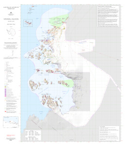
| Map Number | 16012 |
| Title | Windmill Islands topographic |
| Edition | 5 |
| Previous edition | [Previous edition : 4] |
| Scale | 1 : 50 000 |
| Publication date | September 2023 |
| Publisher |
Australian Antarctic Division (Australia)
|
| Spatial coverage |
(110.3225° -66.1736°)
,
(111.0722° -66.1736°)
,
(111.0722° -66.5856°)
(110.3225° -66.5856°) |
| Projection | Universal Transverse Mercator |
| Physical size | 98 x 84.1 cm |
| Notes |
Wildlife meta data references: Adelie penguin - AAS_4088_Adelie_occupancy_Windmill - AAS_4088_Adelie_occupancy_Windmill_2012-2013 - Wind50k - wind_penguin_gis Cape petrel - windmill_flyingbirds_gis160 Snow petrel - ASAC_1219_AAT_SPet_C_0102 - BIRDSCASEY0203 - windmill_flyingbirds_gis166 Southern giant petrel - frazier_sgp_12dec2011 South polar skua - windmill_flyingbirds_gis180 Southern elephant seal - gis179 |
| Keywords | Browning , Peninsula , Robinson , Ridge , Mitchell , Bailey , Clark , Newcomb , O'brien , Sparkes , Penney , Eyres , Robertson , Heigel , Knowles , Vanderford , Peterson. |
Downloads
This is a digital map available for downloading.
Map Lists
This map belongs to the following lists. Use the link on the list to see all maps belonging to that list
- Windmill Islands / Casey - extended list
- Oziexplorer maps
- Windmill Islands / Casey - core list
- Georeferenced Maps
Additional Information
| Horizontal datum | WGS84 |
| Vertical datum | Mean sea level |
| Nomenclature | Australian Antarctic Gazetteer |
Preview