Georeferenced Maps
View All Map ListsA collection of georeferenced PDF files
Showing all 15 maps.
Edgeworth David Base View Map Details
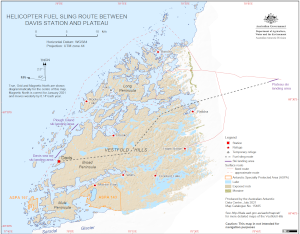
Map ID - 15740
Published On - November-2022 Scale - 1 : 2000 Physical Size- - 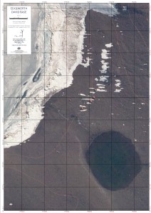
|
Helicopter Fuel Sling Route Between
|
Vestfold Hills View Map Details
Map ID - 15784
Published On - August-2022 Scale - 1 : 50 000 Physical Size- 82.8 x 117.7 cm A0 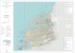
|
Vestfold Hills : Map 1 of 5 View Map Details
Map ID - 15779
Published On - August-2022 Scale - 1 : 50 000 Physical Size- 29.7 x 42 cm A3 Vertical Unit - Meters 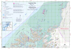
|
Vestfold Hills : Map 2 of 5 View Map Details
Map ID - 15780
Published On - August-2022 Scale - 1 : 50 000 Physical Size- 29.7 x 42 cm A3 Vertical Unit - Meters 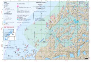
|
Vestfold Hills : Map 3 of 5 View Map Details
Map ID - 15781
Published On - August-2022 Scale - 1 : 50 000 Physical Size- 29.7 x 42 cm A3 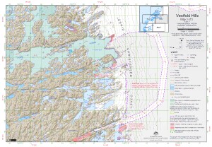
|
Vestfold Hills : Map 4 of 5 View Map Details
Map ID - 15782
Published On - August-2022 Scale - 1 : 50 000 Physical Size- 29.7 x 42 cm A3 Vertical Unit - Meters 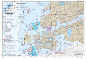
|
Vestfold Hills : Map 5 of 5 View Map Details
Map ID - 15783
Published On - August-2022 Scale - 1 : 50 000 Physical Size- 29.7 x 42 cm A3 Vertical Unit - Meters 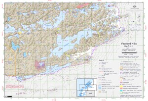
|
Windmill Islands - Casey to Wilkins Aerodrome (Digital Only) View Map Details
Map ID - 16013
Published On - September-2023 Scale - 1 : 50 000 Physical Size- 128 x 138 cm _thumb.jpg)
|
Windmill Islands : Map 1 of 5 View Map Details
Map ID - 16007
Published On - September-2023 Scale - 1 : 50 000 Physical Size- 29.7 x 42 cm A3 Vertical Unit - Meters 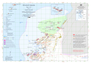
|
Windmill Islands : Map 2 of 5 View Map Details
Map ID - 16008
Published On - September-2023 Scale - 1 : 50 000 Physical Size- 29.7 x 42 cm A3 Vertical Unit - Meters 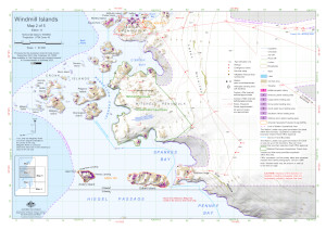
|
Windmill Islands : Map 3 of 5 View Map Details
Map ID - 16009
Published On - September-2023 Scale - 1 : 50 000 Physical Size- 29.7 x 42 cm A3 Vertical Unit - Meters 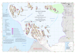
|
Windmill Islands : Map 4 of 5 View Map Details
Map ID - 16010
Published On - September-2023 Scale - 1 : 50 000 Physical Size- 29.7 x 42 cm A3 Vertical Unit - Meters 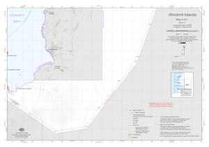
|
Windmill Islands : Map 5 of 5 View Map Details
Map ID - 16011
Published On - September-2023 Scale - 1 : 50 000 Physical Size- 29.7 x 42 cm A3 Vertical Unit - Meters 
|
Windmill Islands topographic View Map Details
Map ID - 16012
Published On - September-2023 Scale - 1 : 50 000 Physical Size- 98 x 84.1 cm 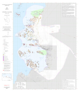
|
Showing all 15 maps.