Search the SCAR Antarctic Maps
The result for your query using
- Name search string: bunger .
- Published by Australia
Maps are sorted by Map title. Follow the link on the Map Number or Preview (if it exists) for full details.
Count of maps returned is 58.
Showing 21 to 40 of 58 records. On page 2 of 3, go to the Previous Page or Next Page
| Map no. | Title and preview | Spatial coverage | Publication date |
|---|---|---|---|
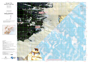
| 16043 | Bunger Hills Satellite Image Map - Map Series - Map Sheet: B3
|
(101.1461° -66.0888°)
,
(101.4937° -66.0888°)
(101.4937° -66.2170°) , (101.1461° -66.2170°) |
November-2023 |
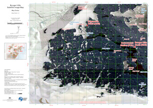
| 16044 | Bunger Hills Satellite Image Map - Map Series - Map Sheet: C1
|
(100.4333° -66.2216°)
,
(100.7863° -66.2216°)
(100.7863° -66.3482°) , (100.4333° -66.3482°) |
November-2023 |
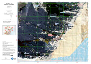
| 16045 | Bunger Hills Satellite Image Map - Map Series - Map Sheet: C2
|
(100.7950° -66.2170°)
,
(101.1461° -66.2170°)
(101.1461° -66.3444°) , (100.7950° -66.3444°) |
November-2023 |
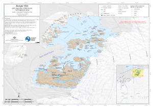
| 16154 | Bunger Hills with range rings at 5NM from Edgeworth David (Topographic)
|
(100.0862° -65.9054°)
,
(101.8211° -65.9054°)
(101.8211° -66.4245°) , (100.0862° -66.4245°) |
August-2023 |
| 15509 | Bunger Hills, Australian Antarctic Territory - Wilkes Land, Queen Mary Land, Sheet 1 of 2
_thumb.jpg)
|
(100.2333° -65.9500°)
,
(100.8667° -65.9500°)
(100.8667° -66.3500°) , (100.2333° -66.3500°) |
1988 |
| 15508 | Bunger Hills, Australian Antarctic Territory - Wilkes Land, Queen Mary Land, Sheet 2 of 2
|
(100.8667° -65.9500°)
,
(101.5000° -65.9500°)
(101.5000° -66.3500°) , (100.8667° -66.3500°) |
1988 |
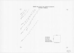
| 855 | Bunger Hills, Aviatorov Peninsula - Flight Line Diagram
|
(101.0000° -66.1666°)
,
(101.5000° -66.1666°)
(101.5000° -66.3333°) , (101.0000° -66.3333°) |
1986 |
| 844 | Bunger Hills, Aviatorov Peninsula - Flight Line Diagram

|
(101.0000° -66.1667°)
,
(101.5000° -66.1667°)
(101.5000° -66.3333°) , (101.0000° -66.3333°) |
1986 |
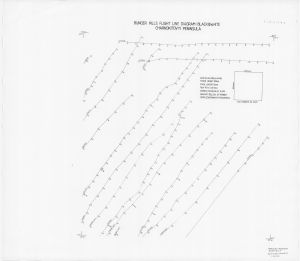
| 846 | Bunger Hills, Charnokitovyi Peninsula - Flight Line Diagram

|
(101.0000° -65.9500°)
,
(101.5000° -65.9500°)
(101.5000° -66.1666°) , (101.0000° -66.1666°) |
1986 |
| 856 | Bunger Hills, Charnokitovyi Peninsula - Flight Line Diagram
|
(101.0000° -65.9500°)
,
(101.5000° -65.9500°)
(101.5000° -66.1666°) , (101.0000° -66.1666°) |
1986 |
| 845 | Bunger Hills, Charnokitovyi Peninsula - Oblique Photograph Diagram

|
(101.0000° -65.9500°)
,
(102.0000° -65.9500°)
(102.0000° -66.3333°) , (101.0000° -66.3333°) |
February-1986 |
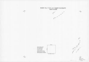
| 850 | Bunger Hills, Edisto Glacier - Flight Line Diagram

|
(100.0000° -66.1666°)
,
(100.5000° -66.1666°)
(100.5000° -66.3333°) , (100.0000° -66.3333°) |
1986 |
| 861 | Bunger Hills, Edisto Glacier - Flight Line Diagram
|
(100.0000° -66.1667°)
,
(100.5000° -66.1667°)
(100.5000° -66.3333°) , (100.0000° -66.3333°) |
1986 |
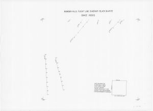
| 858 | Bunger Hills, Grace Rocks - Flight Line Diagram
|
(100.0000° -66.3333°)
,
(101.0000° -66.3333°)
(101.0000° -66.6666°) , (100.0000° -66.6666°) |
1986 |
| 847 | Bunger Hills, Grace Rocks - Flight Line Diagram

|
(100.5000° -66.3333°)
,
(101.0000° -66.3333°)
(101.0000° -66.5000°) , (100.5000° -66.5000°) |
1986 |
| 872 | Bunger Hills, Grace Rocks - Flight Line Diagram

|
(100.5000° -66.3333°)
,
(101.0000° -66.3333°)
(101.0000° -66.5000°) , (100.5000° -66.5000°) |
1986 |
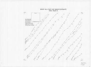
| 868 | Bunger Hills, Oasis Polar ST. - Flight Line Diagram

|
(100.5000° -66.1666°)
,
(101.0000° -66.1666°)
(101.0000° -66.3333°) , (100.5000° -66.3333°) |
1986 |
| 848 | Bunger Hills, Oasis Polar ST. - Flight Line Diagram
|
(100.5000° -66.1667°)
,
(101.0000° -66.1667°)
(101.0000° -66.3333°) , (100.5000° -66.3333°) |
1986 |
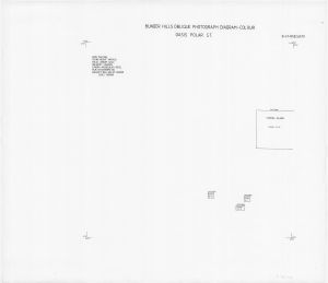
| 852 | Bunger Hills, Oasis Polar ST. - Oblique Photograph Diagram

|
(100.0000° -65.9500°)
,
(101.0000° -65.9500°)
(101.0000° -66.3333°) , (100.0000° -66.3333°) |
1986 |
| 851 | Bunger Hills, Oasis Polar ST. - Oblique Photograph Diagram
|
(100.0000° -65.9500°)
,
(101.0000° -65.9500°)
(101.0000° -66.3333°) , (100.0000° -66.3333°) |
March-1986 |
Showing 21 to 40 of 58 records. On page 2 of 3, go to the Previous Page or Next Page