Framne Mountains / Holme Bay / Mawson - extended list
View All Map ListsAn extended list of maps of the Framnes Mountains and Holme Bay. Includes maps of Mawson.
Showing 21 to 40 of 41 maps. On page 2 of 3, go to the Previous Page or Next Page
Mawson : Local Area View Map Details
Map ID - 13988
Published On - September-2011 Scale - 1 : 27 000 Physical Size- 21 x 29.7 cm A4 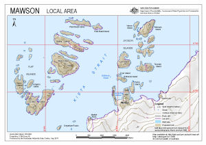
|
Mawson Asbestos Presence in Buildings View Map Details
Map ID - 15865
Published On - April-2023 Scale - 1 : 3000 Physical Size- 29.7 x 21 cm A4 Vertical Unit - Meters 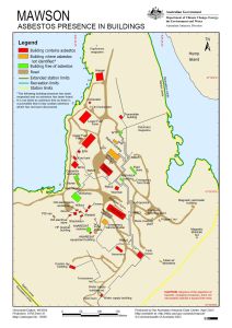
|
Mawson Fire Hydrants (Superceded) View Map Details
Map ID - 14218
Published On - June-2013 Scale - 1 : 1000 Physical Size- 42 x 29.7 cm A3 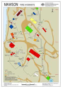
|
Mawson Ski Landing Areas View Map Details
Map ID - 14599
Published On - July-2017 Scale - 1 : 120 000 Physical Size- 19 x 24.3 cm 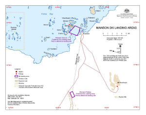
|
Mawson Station View Map Details
Map ID - 1597
Published On - March-1980 Scale - 1 : 1000 Physical Size- 97 x 90 cm Vertical Unit - Meters 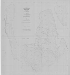
|
Mawson Station Area : Orthophoto map View Map Details
Map ID - 12925
Published On - February-2003 Scale - 1 : 1500 Physical Size- 75 x 91 cm 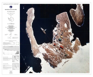
|
Mawson Station Heritage Values View Map Details
Map ID - 15984
Published On - March-2024 Scale - 1 : 2300 Physical Size- 29.7 x 21 cm A4 Vertical Unit - Meters 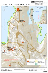
|
Mawson: Buildings and Structures View Map Details
Map ID - 15775
Published On - October-2022 Scale - 1 : 3000 Physical Size- 29.7 x 21 cm A4 Vertical Unit - Meters 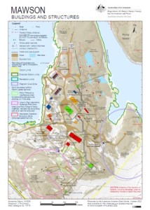
|
Mawson: Recreation Limits View Map Details
Map ID - 15777
Published On - October-2022 Scale - 1 : 11 500 Physical Size- 29.7 x 21 cm A4 Vertical Unit - Meters 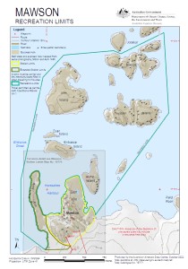
|
Mawson: Station Limits View Map Details
Map ID - 15776
Published On - August-2022 Scale - 1 : 5500 Physical Size- 29.7 x 21 cm A4 Vertical Unit - Meters 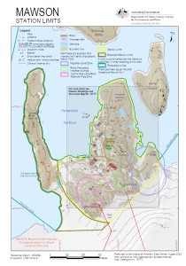
|
Mawson: Station Search Zones View Map Details
Map ID - 14665
Published On - October-2018 Scale - 1 : 3000 Physical Size- 29.7 x 21 cm A4 Vertical Unit - Meters 
|
Mawson: Tide Gauge Location View Map Details
Map ID - 14263
Published On - November-2013 Scale - 1 : 1000 Physical Size- 29.7 x 21 cm A4 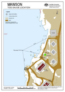
|
Rookery Islands View Map Details
Map ID - 12739
Published On - November-2001 Scale - 1 : 40 000 Physical Size- 29.7 x 21 cm A4 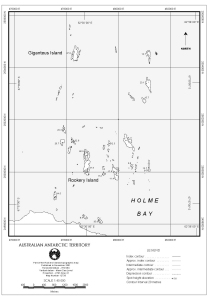
|
Rookery Islands (SPA 2) View Map Details
Map ID - 12738
Published On - November-2001 Scale - 1 : 20 000 Physical Size- 37 x 67 cm 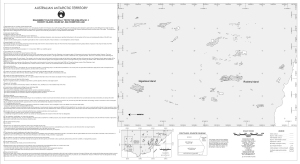
|
The Australian Antarctic Data Centre's topographic data of the islands off the Mawson Coast View Map Details
Map ID - 13249
Published On - February-2006 Scale - 1 : 330 000 Physical Size- 21 x 29.7 cm A4 
|
Verner Island and Petersen Island [Penguin Colonies : Topographical map] View Map Details
Map ID - 12728
Published On - July-2000 Scale - 1 : 6000 Physical Size- 42 x 72 cm ![Verner Island and Petersen Island [Penguin Colonies : Topographical map]](/database/mapcat/holme/verner_topo_jul00_12728_thumb.jpg)
|
Verner Island and Petersen Island Penguin Colonies : Orthophoto map View Map Details
Map ID - 12725
Published On - July-2000 Scale - 1 : 5000 Physical Size- 42 x 72 cm 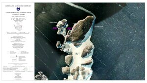
|
Verner Island and Petersen Island topographical map View Map Details
Map ID - 12722
Published On - July-2000 Scale - 1 : 10 000 Physical Size- 2.97 x 2.1 cm A4 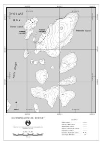
|
Welch Island [Penguin Colonies : topographical map] View Map Details
Map ID - 12729
Published On - July-2000 Scale - 1 : 6500 Physical Size- 72 x 42 cm ![Welch Island [Penguin Colonies : topographical map]](/database/mapcat/holme/Welch_Is_topo_2000_12729_thumb.jpg)
|
Welch Island Penguin Colonies : Orthophoto map View Map Details
Map ID - 12726
Published On - July-2000 Scale - 1 : 5000 Physical Size- 72 x 42 cm 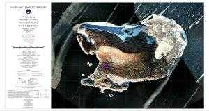
|
Showing 21 to 40 of 41 maps. On page 2 of 3, go to the Previous Page or Next Page