Oziexplorer maps
View All Map ListsMaps for which tif images and accompanying map files are available for use in Oziexplorer.
Showing 1 to 20 of 53 maps. On page 1 of 3, go to the Next Page
Amanda Bay, Princess Elizabeth Land View Map Details
Map ID - 54
Published On - December-1991 Scale - 1 : 100 000 Physical Size- 69 x 99.5 cm 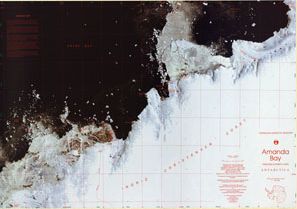
|
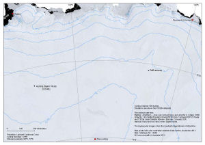
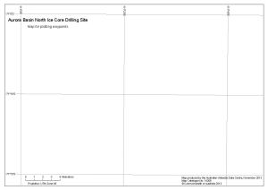
Aurora Basin North Ice Core Drilling Site
|
Aurora Basin North Ice Core Drilling Site
|
Australia to Antarctica View Map Details
Map ID - 13060
Published On - January-2004 Scale - 1 : 8 500 000 Physical Size- 71 x 114 cm 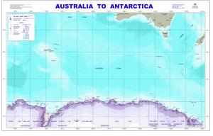
|
Base map of Australia to Antarctica View Map Details
Map ID - 13746
Published On - February-2010 Scale - 1 : 49 000 000 Physical Size- 21.5 x 12 cm 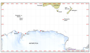
|
Beaver Lake, Mac.Robertson Land View Map Details
Map ID - 57
Published On - 1990 Scale - 1 : 100 000 Physical Size- 70 x 86.5 cm Vertical Unit - Meters 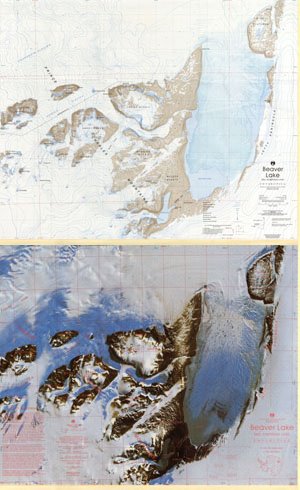
|
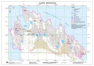
Cape Denison (Out of Date) Out of Date)">View Map Details
Map ID - 13575
Published On - April-2010 Scale - 1 : 5000 Physical Size- 29.7 x 42 cm A3 |
Casey Station to Wilkins Runway View Map Details
Map ID - 13423
Published On - October-2007 Scale - 1 : 100 000 Physical Size- 64 x 98 cm 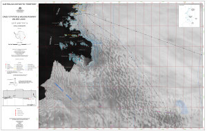
|
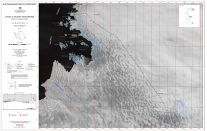
Casey to Wilkins Aerodrome
|
Casey: Recreation Limits View Map Details
Map ID - 16005
Published On - September-2023 Scale - 1 : 15 500 Physical Size- 21 x 29.7 cm A4 Vertical Unit - Meters 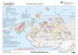
|
Dog routes from Mawson Station 1954-1992 View Map Details
Map ID - 12976
Published On - May-2003 Scale - 1 : 1 000 000 Physical Size- 29.7 x 42 cm A3 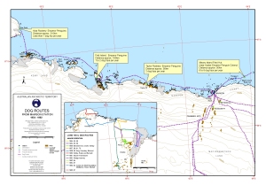
|
Framnes Mountains / Mac.Robertson Land View Map Details
Map ID - 63
Published On - June-1991 Scale - 1 : 100 000 Physical Size- 95.5 x 88.5 cm Vertical Unit - Meters 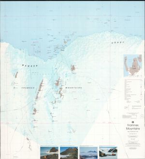
|
Framnes Mountains (Mac.Robertson Land) View Map Details
Map ID - 15760
Published On - October-2022 Scale - 1 : 50 000 Physical Size- 118.9 x 84.1 cm A0 Vertical Unit - Feet 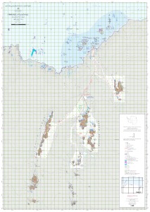
|
Framnes Mountains, MacRobertson Land, Antarctica. Sheet 1 View Map Details
Map ID - 13107
Published On - September-2004 Scale - 1 : 50 000 Physical Size- 64.5 x 106 cm 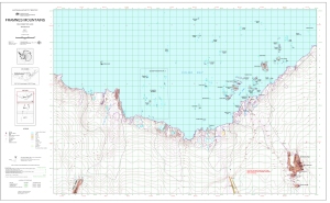
|
Framnes Mountains, MacRobertson Land, Antarctica. Sheet 2 View Map Details
Map ID - 13108
Published On - September-2004 Scale - 1 : 50 000 Physical Size- 64.5 x 106 cm 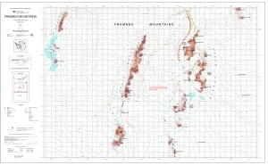
|
Framnes Mountains, MacRobertson Land, Antarctica. Sheet 3 View Map Details
Map ID - 13109
Published On - October-2004 Scale - 1 : 50 000 Physical Size- 64.5 x 106 cm 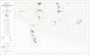
|
Heard Island & McDonald Islands View Map Details
Map ID - 31
Published On - December-1991 Scale - 1 : 50 000 Physical Size- 69 x 99.3 cm 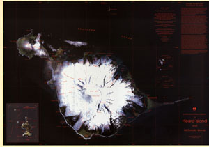
|
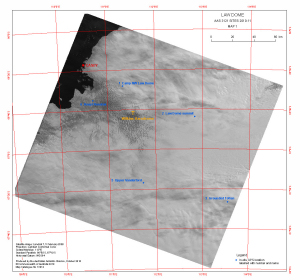
Law Dome
|
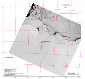
Law Dome
|
Mawson to Auster Rookery View Map Details
Map ID - 13458
Published On - January-2008 Scale - 1 : 130 000 Physical Size- 29.7 x 42 cm A3 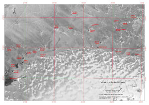
|
 Out of Date)"/>
Showing 1 to 20 of 53 maps. On page 1 of 3, go to the Next Page