Tide gauge locations
View All Map ListsMaps showing the locations of the AAD's tide gauges
Showing all 8 maps.
Casey: Station Limits View Map Details
Map ID - 16006
Published On - September-2023 Scale - 1 : 8600 Physical Size- 21 x 29.7 cm A4 Vertical Unit - Meters 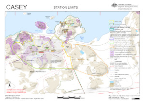
|
Davis: Tide Gauge Location View Map Details
Map ID - 14262
Published On - November-2013 Scale - 1 : 4200 Physical Size- 29.7 x 21 cm A4 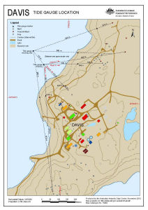
|
Macquarie Island: Buildings and Structures View Map Details
Map ID - 14676
Published On - July-2018 Scale - 1 : 2500 Physical Size- 21 x 29.7 cm A4 Vertical Unit - Meters 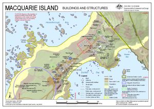
|
Macquarie Island: Station Limits View Map Details
Map ID - 15837
Published On - December-2022 Scale - 1 : 7800 Physical Size- 29.7 x 21 cm A4 Vertical Unit - Meters 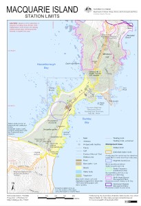
|
Mawson: Buildings and Structures View Map Details
Map ID - 15775
Published On - October-2022 Scale - 1 : 3000 Physical Size- 29.7 x 21 cm A4 Vertical Unit - Meters 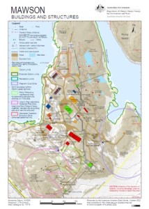
|
Mawson: Station Limits View Map Details
Map ID - 15776
Published On - August-2022 Scale - 1 : 5500 Physical Size- 29.7 x 21 cm A4 Vertical Unit - Meters 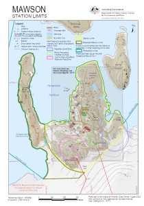
|
Mawson: Tide Gauge Location View Map Details
Map ID - 14263
Published On - November-2013 Scale - 1 : 1000 Physical Size- 29.7 x 21 cm A4 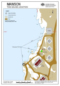
|
Tide Gauge Stations in Antarctica View Map Details
Map ID - 13758
Published On - October-2010 Scale - 1 : 44 000 000 Physical Size- 17.5 x 15 cm 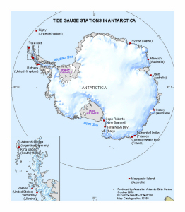
|
Showing all 8 maps.