Antarctic Specially Protected Areas and Antarctic Specially Managed Areas maps
View All Map ListsShowing 41 to 53 of 53 maps. On page 3 of 3, go to the Previous Page
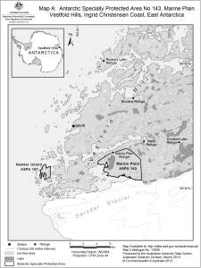
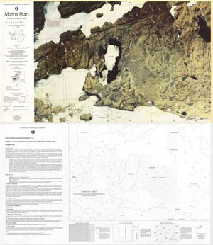
Marine Plain : Satellite image map, Vestfold Hills View Map Details
Map ID - 13048
Published On - October-2003 Scale - 1 : 20 000 Physical Size- 61.5 x 67 cm 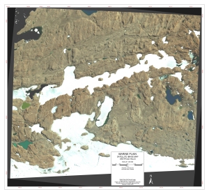
|
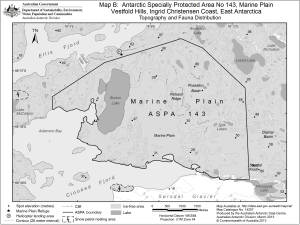
Marine Plain, Vestfold Hills, Ingrid Christensen Coast, East Antarctica
|
Marine Plain, Vestfold Hills, Ingrid Christensen Coast, East Antarctica
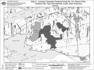
|
Marine Plain, Vestfold Hills, Ingrid Christensen Coast, East Antarctica
|
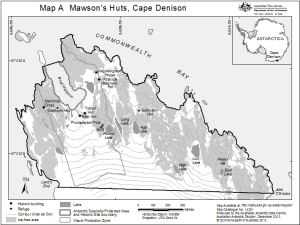
Mawson's Huts, Cape Denison
|
Protected Areas, Historic Sites and Monuments in the Australian Antarctic Territory View Map Details
Map ID - 13631
Published On - May-2009 Scale - 1 : 19 000 000 Physical Size- 29.7 x 21 cm A4 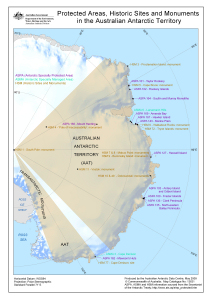
|
Rookery Islands View Map Details
Map ID - 12739
Published On - November-2001 Scale - 1 : 40 000 Physical Size- 29.7 x 21 cm A4 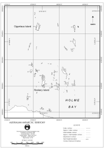
|
Rookery Islands (SPA 2) View Map Details
Map ID - 12738
Published On - November-2001 Scale - 1 : 20 000 Physical Size- 37 x 67 cm 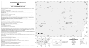
|
Site of Special Scientific Interest No. 25
|
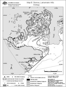
Stornes, Larsemann Hills
|
Taylor Rookery Specially Protected Area No.1 topographical map (A4) View Map Details
Map ID - 5109
Published On - September-1998 Scale - 1 : 5000 Physical Size- 30 x 21 cm 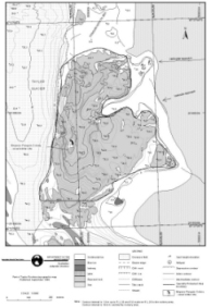
|
Taylor Rookery, Specially Protected Area No.1 topographical map View Map Details
Map ID - 5110
Published On - September-1998 Scale - 1 : 5000 Physical Size- 36 x 65 cm 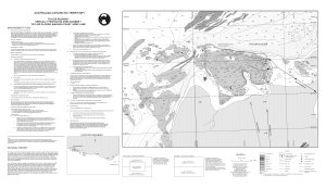
|
Taylor Rookery, Specially Protected Area No.1, Orthophoto Map View Map Details
Map ID - 5111
Published On - September-1998 Scale - 1 : 5000 Physical Size- 36 x 66 cm 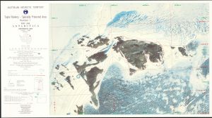
|
Showing 41 to 53 of 53 maps. On page 3 of 3, go to the Previous Page