Antarctic Specially Protected Areas and Antarctic Specially Managed Areas maps
View All Map ListsShowing 21 to 40 of 53 maps. On page 2 of 3, go to the Previous Page or Next Page
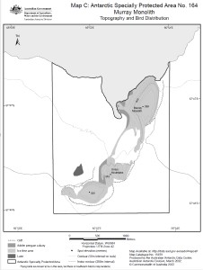
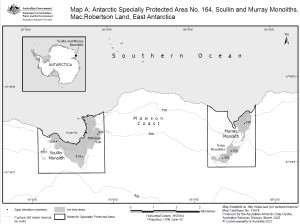
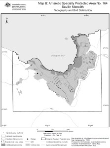
Antarctic Specially Protected Area No. 164
|
Antarctic Specially Protected Area No. 164
|
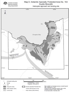
Antarctic Specially Protected Area No. 164
|
Antarctic Specially Protected Area No. 164
|
ASPA 135 Quadrat Locations View Map Details
Map ID - 14450
Published On - May-2015 Scale - 1 : 400 Physical Size- 29.7 x 42 cm A3 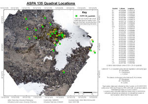
|
Cape Denison (OUT OF DATE) View Map Details
Map ID - 13575
Published On - April-2010 Scale - 1 : 5000 Physical Size- 29.7 x 42 cm A3 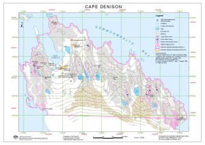
|
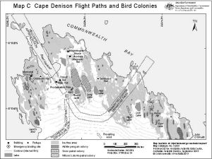
Cape Denison Flight Paths and Bird Colonies
|
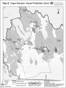
Cape Denison Visual Protection Zone
|
Clark Peninsula, Site of Special Scientific Interest no.17 View Map Details
Map ID - 4
Published On - December-1996 Scale - 1 : 10 000 Physical Size- 49 x 84.5 cm 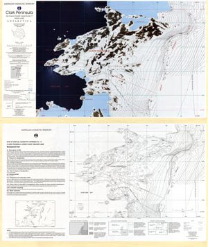
|
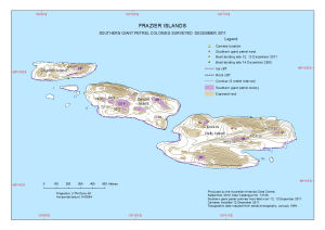
Frazier Islands
|
Grove Mountains : satellite image map View Map Details
Map ID - 13739
Published On - December-2009 Scale - 1 : 15 000 Physical Size- 78.5 x 98 cm 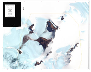
|
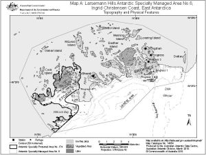
Larsemann Hills Antarctic Specially Managed Area No.6, Ingrid Christensen Coast, East Antarctica
|
Larsemann Hills Antarctic Specially Managed Area No.6, Ingrid Christensen Coast, East Antarctica
|
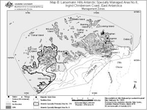
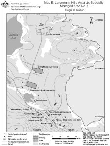
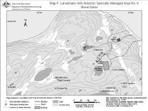
Larsemann Hills Antarctic Specially Managed Area No.6
|
Larsemann Hills Antarctic Specially Managed Area No.6
|
Larsemann Hills Antarctic Specially Managed Area No.6
|
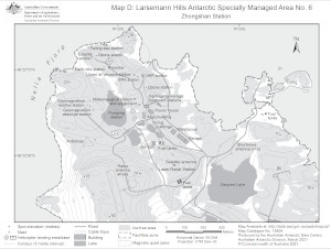
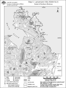
Larsemann Hills ASMA No.6
|
Locations of Antarctic Specially Protected Areas View Map Details
Map ID - 14032
Published On - May-2012 Scale - 1 : 10 550 000 Physical Size- 54.6 x 54.6 cm 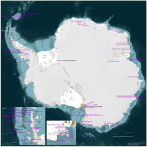
|
Map A: Antarctic Specially Protected Areas and Antarctic Specially Managed Area, Ingrid Christensen Coast, East Antarctica View Map Details
Map ID - 14210
Published On - December-2013 Scale - 1 : 850 000 Physical Size- 20 x 15 cm A4 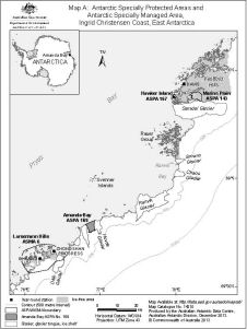
|
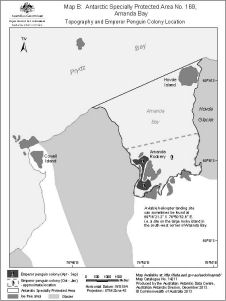
Map B: Antarctic Specially Protected Area No. 169 , Amanda Bay
|
Showing 21 to 40 of 53 maps. On page 2 of 3, go to the Previous Page or Next Page