Marine Biodiversity maps
View All Map ListsMaps used in support or produced from marine biodiversity surveys. This list is to used in support of SCAR-MarBIN.
Showing 1 to 20 of 21 maps. On page 1 of 2, go to the Next Page
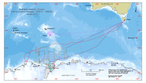
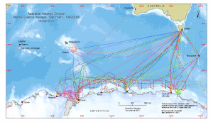
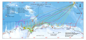
Australian Antarctic Division Marine Science Voyages 1980/81 - 1989/90
|
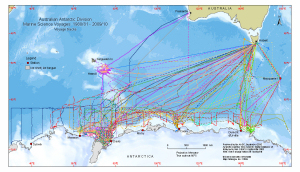
Australian Antarctic Division Marine Science Voyages 1980/81 - 2009/10
|
Australian Antarctic Division Marine Science Voyages 1990/1991 - 1999/2000
|
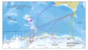
Australian Antarctic Division Marine Science Voyages 2000/01 - 2009/10
|
CEAMARC and CASO sample sites : Voyage 3, 2007/08 View Map Details
Map ID - 13475
Published On - May-2008 Scale - 1 : 2 230 000 Physical Size- 10.5 x 13.4 cm 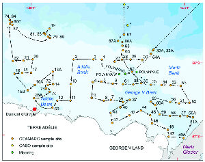
|
CEAMARC benthic sampling sites: Umitaka Maru voyage 2007/08 View Map Details
Map ID - 13460
Published On - January-2008 Scale - 1 : 1 100 000 Physical Size- 59.4 x 84.1 cm A1 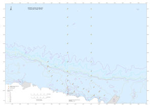
|
Crabeater seal survey 1999/2000: predicted seal density View Map Details
Map ID - 13258
Published On - March-2006 Scale - 1 : 30 000 000 Physical Size- 7 x 14 cm 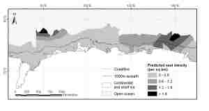
|
Crabeater seal survey 1999/2000: transects View Map Details
Map ID - 13259
Published On - March-2006 Scale - 1 : 30 000 000 Physical Size- 6.5 x 14 cm 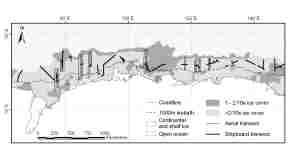
|
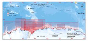
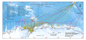
Krill larvae data collected 1980 - 2010
|
Krill larvae data collected 1980 - 2010
|
Krill morphometric data collected 1980 - 2010
|
Krill morphometric data collected 1980 - 2010
|
Macaroni penguin creche stage foraging trips from Heard Island, 2003/04 summer View Map Details
Map ID - 13449
Published On - December-2007 Scale - 1 : 4 500 000 Physical Size- 6.6 x 8.8 cm 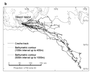
|
Macaroni penguin guard stage foraging trips from Heard Island, 2003/04 summer View Map Details
Map ID - 13448
Published On - December-2007 Scale - 1 : 2 800 000 Physical Size- 6.6 x 8.8 cm 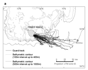
|
Predicted Ross seal density View Map Details
Map ID - 13322
Published On - September-2006 Scale - 1 : 30 000 000 Physical Size- 10 x 14 cm 
|
SCAR Southern Ocean CPR Survey Tows 1991-2013 View Map Details
Map ID - 14261
Published On - October-2013 Scale - 1 : 35 000 000 Physical Size- 42 x 42 cm 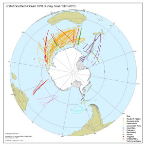
|
Voyage 2 2005/06 View Map Details
Map ID - 13303
Published On - August-2006 Scale - 1 : 22 600 000 Physical Size- - 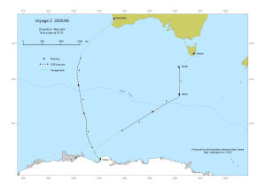
|
Voyage 3 2005/06 (BROKE-West) View Map Details
Map ID - 13340
Published On - November-2006 Scale - 1 : 42 000 000 Physical Size- 12 x 19 cm 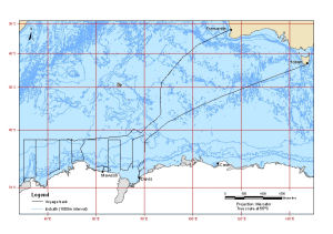
|
Voyage 4 1995/96 (BROKE) and Voyage 3 2005/06 (BROKE-West) View Map Details
Map ID - 13741
Published On - February-2010 Scale - 1 : 27 000 000 Physical Size- 12.9 x 27.9 cm 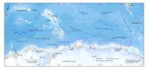
|
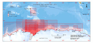
Zooplankton data collected 1980 - 2010
|

Showing 1 to 20 of 21 maps. On page 1 of 2, go to the Next Page