Antarctic Maps
Large scale maps covering scales below 1:100 000
-
that cover
| 63° 00' 00.0" S to 64° 00' 00.0" S |
| 62° 00' 00.0" W to 60° 00' 00.0" W |
For additional maps, see the Mapping for the Map Catalogue.
Use the link on the Map No or the preview if it exists to see full details.
| Map No | Map Title | Year | Scale | Preview |
|---|---|---|---|---|
| 5803 | Deception Island | 1972 | 1 : 50 000 | |
| 5980 | Deception Island | 1968 | 1 : 23 150 | |
| 13272 | Deception Island | 1994 | 1 : 25 000 | |
| 14378 | Deception Island, South Shetland Islands | 1991 | 1 : 50 000 | |
| 353 | Deception Island, South Shetland Islands | 1987 | 1 : 50 000 | |
| 3336 | Deception Island, South Shetland Islands | 1991 | 1 : 50 000 | |
| 5692 | Falkland Islands Dependencies, South Shetland Islands. Deception Island | 1960 | 1 : 25 000 | |
| 8438 | Fig. 2. Simplified geological sketch map of Byers Peninsula | 1980 | 1 : 50 000 | |
| 13273 | Geological map of Deception Island | 2000 | 1 : 25 000 | |
| 13274 | Geological map of Deception Island | 2000 | 1 : 25 000 | |
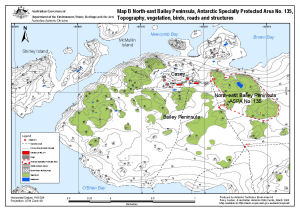
| 13512 | North-east Bailey Peninsula, Antarctic Specially Protected Area No. 135 : Topography, vegetation, birds, roads and structures (Map B) | 2008 | 1 : 12 000 |
 |
| 2091 | Puertos en el Territorio Antartico Chileno: Archipielago Melchior: Bahia Hope 1:30000, Bahia South 1:30000, Seno Discovery 1:20000, Puertos Angamos y Lockroy 1:10000, Caleto Hackapike 1:10000 | 1955 | 1 : 20 000 | |
| 2081 | Puertos en el Territorio Antartico Chileno: Isla Deception. Insets: Bahia Yankee 1:10000, Caleta Balleneros 1:8000 | 1953 | 1 : 50 000 | |
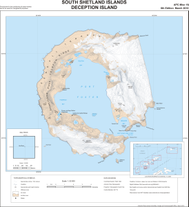
| 5509 | South Shetland Islands: Deception Island | 1987 | 1 : 50 000 | |
| 13795 | South Shetland Islands: Deception Island | 2010 | 1 : 50 000 |
 |