Orthophoto maps
View All Map ListsShowing all 12 maps.
Bechervaise Island Penguin Colonies : Orthophoto map View Map Details
Map ID - 12724
Published On - July-2000 Scale - 1 : 5000 Physical Size- 42 x 72 cm 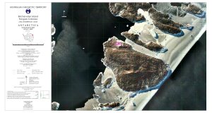
|
Casey Station : Orthophoto map View Map Details
Map ID - 12888
Published On - August-2002 Scale - 1 : 1125 Physical Size- 62 x 96 cm 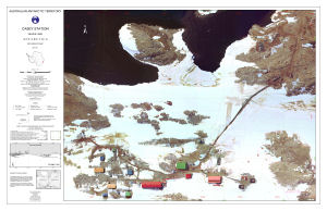
|
Casey Station Area : Orthophoto map View Map Details
Map ID - 12889
Published On - August-2002 Scale - 1 : 3000 Physical Size- 54 x 69.5 cm 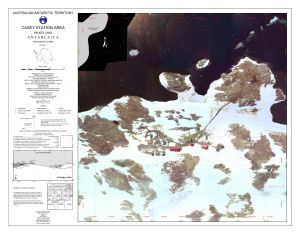
|
Clark Peninsula, Site of Special Scientific Interest no.17 View Map Details
Map ID - 4
Published On - December-1996 Scale - 1 : 10 000 Physical Size- 49 x 84.5 cm 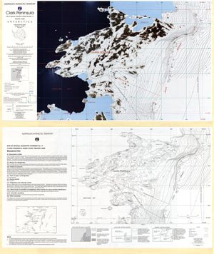
|
Gaussberg View Map Details
Map ID - 14678
Published On - July-2018 Scale - 1 : 5000 Physical Size- 77 x 99 cm Vertical Unit - Meters 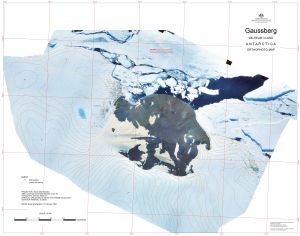
|
Mawson Station Area : Orthophoto map View Map Details
Map ID - 12925
Published On - February-2003 Scale - 1 : 1500 Physical Size- 75 x 91 cm 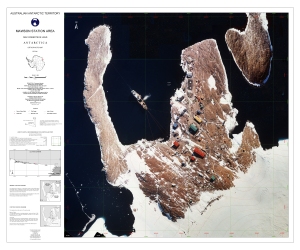
|
Old Casey and Thala valley : Orthophoto map View Map Details
Map ID - 12887
Published On - August-2002 Scale - 1 : 1000 Physical Size- 64 x 80 cm 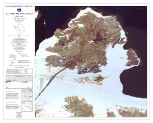
|
Site of Special Scientific Interest No. 25
|
Site of Special Scientific Interest Number 16, Wilkes Land, Antarctica View Map Details
Map ID - 5
Published On - December-1996 Scale - 1 : 2000 Physical Size- 35 x 65.5 cm 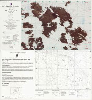
|
Taylor Rookery, Specially Protected Area No.1, Orthophoto Map View Map Details
Map ID - 5111
Published On - September-1998 Scale - 1 : 5000 Physical Size- 36 x 66 cm 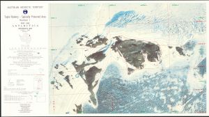
|
Verner Island and Petersen Island Penguin Colonies : Orthophoto map View Map Details
Map ID - 12725
Published On - July-2000 Scale - 1 : 5000 Physical Size- 42 x 72 cm 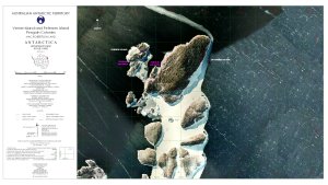
|
Welch Island Penguin Colonies : Orthophoto map View Map Details
Map ID - 12726
Published On - July-2000 Scale - 1 : 5000 Physical Size- 72 x 42 cm 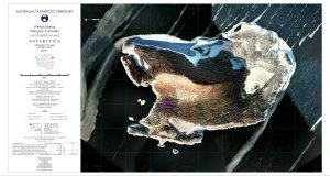
|
Showing all 12 maps.