Antarctica and the Southern Ocean
View All Map ListsMaps of Antarctica and the Southern Ocean
Showing 1 to 20 of 38 maps. On page 1 of 2, go to the Next Page
Antarctic weather systems View Map Details
Map ID - 13010
Published On - February-2003 Scale - 1 : 70 000 000 Physical Size- - 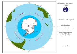
|
Antarctica View Map Details
Map ID - 14695
Published On - November-2013 Scale - 1 : 10 000 000 Physical Size- 95 x 82.5 cm 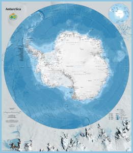
|
Antarctica and the Southern Ocean
|
Antarctica and the Southern Ocean
|
Antarctica : Antarctic Search and Rescue Coordination View Map Details
Map ID - 13584
Published On - August-2008 Scale - 1 : 54 000 000 Physical Size- - 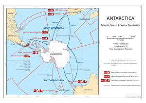
|
Antarctica : Antarctic Search and Rescue Coordination and Long Range Identification and Tracking (LRIT) View Map Details
Map ID - 13583
Published On - August-2008 Scale - 1 : 54 000 000 Physical Size- - 
|
Antarctica : Maritime and Aeronautical Rescue Coordination Centres (RCCs) and Maritime Search and Rescue Region (SRR) boundaries View Map Details
Map ID - 13582
Published On - August-2008 Scale - 1 : 54 000 000 Physical Size- - 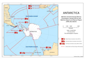
|
Antarctica and the Southern Ocean View Map Details
Map ID - 13989
Published On - September-2011 Scale - 1 : 44 000 000 Physical Size- 21.7 x 27.5 cm 
|
Antarctica and the Southern Ocean View Map Details
Map ID - 15310
Published On - July-2021 Scale - 1 : 20 000 000 Physical Size- 42 x 59.5 cm A2 Vertical Unit - Meters 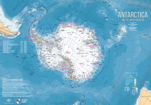
|
Antarctica and the Southern Ocean View Map Details
Map ID - 13323
Published On - September-2006 Scale - 1 : 57 000 000 Physical Size- - 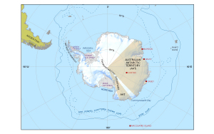
|
Antarctica and the Southern Ocean View Map Details
Map ID - 14245
Published On - August-2013 Scale - 1 : 45 000 000 Physical Size- 19.7 x 19.5 cm 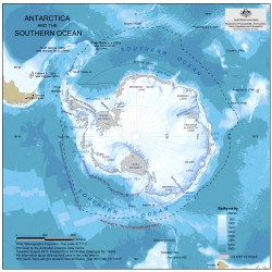
|
Antarctica and the Southern Ocean View Map Details
Map ID - 12183
Published On - June-2000 Scale - 1 : 35 000 000 Physical Size- 29.7 x 42 cm A3 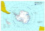
|
Antarctica and the Southern Ocean : CCAMLR statistical reporting subareas View Map Details
Map ID - 13618
Published On - March-2009 Scale - 1 : 44 000 000 Physical Size- 21.7 x 27.5 cm Vertical Unit - Meters 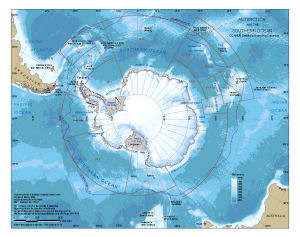
|
Antarctica and the Southern Ocean : CCAMLR statistical reporting subareas [A4] View Map Details
Map ID - 13580
Published On - March-2009 Scale - 1 : 44 000 000 Physical Size- 19.5 x 27.5 cm A4 ![Antarctica and the Southern Ocean : CCAMLR statistical reporting subareas [A4]](/database/mapcat/sthn_ocean/ccamlr_boundaries_A4_13580_thumb.jpg)
|
Antarctica and the Southern Ocean : illustrating Australian Antarctic Territory for the AAT 75th anniversary poster View Map Details
Map ID - 13476
Published On - May-2008 Scale - 1 : 20 000 000 Physical Size- - 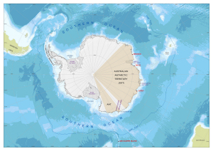
|
Antarctica and the Southern Ocean : Jurisdictional and Administrative Boundaries View Map Details
Map ID - 13374
Published On - March-2007 Scale - 1 : 17 000 000 Physical Size- 86 x 116 cm 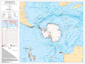
|
Antarctica and the Southern Ocean : main Antarctic facilities operated by the National Antarctic Programs in the Antarctic Treaty area (south of 60 deg. latitude south) View Map Details
Map ID - 13281
Published On - May-2006 Scale - 1 : 17 000 000 Physical Size- 42 x 59.5 cm 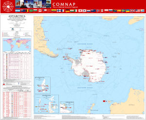
|
Antarctica and the Southern Ocean : Territorial Claims View Map Details
Map ID - 13328
Published On - February-2007 Scale - 1 : 45 000 000 Physical Size- 20 x 20 cm 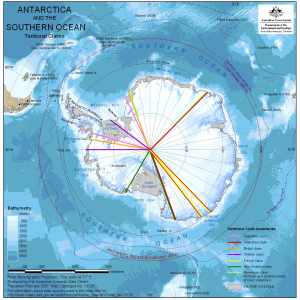
|
Antarctica and the Southern Ocean [Black and white] View Map Details
Map ID - 14289
Published On - May-2014 Scale - 1 : 116 000 000 Physical Size- 8.5 x 8.5 cm ![Antarctica and the Southern Ocean [Black and white]](/database/mapcat/sthn_ocean/antarctica_sthn_ocean_bw_14289_thumb.jpg)
|
Antarctica and the Southern Ocean with CCAMLR Statistical Reporting Subareas View Map Details
Map ID - 13329
Published On - November-2006 Scale - 1 : 60 000 000 Physical Size- 14.7 x 21 cm 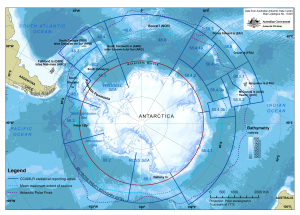
|
![Antarctica and the Southern Ocean<br>
including year-round Australian stations [Black and white]](/database/mapcat/sthn_ocean/antarctica_ps_14159_thumb.jpg)
![Antarctica and the Southern Ocean<br>
including year-round Australian stations and Edgeworth David Base Camp [Black and white]](/database/mapcat/antarctica/antarctica_ps_16140_thumb.jpg)
Showing 1 to 20 of 38 maps. On page 1 of 2, go to the Next Page