Amery Region
View All Map ListsThe map below shows the extents of each map in this list Alt+Shift+Drag to rotate the map
Small scale maps of the Amery Ice Shelf region including the Prince Charles Mountains.
Showing all 8 maps.
Amery Region View Map Details
Map ID - 13004
Published On - May-2003 Scale - 1 : 1 000 000 Physical Size- 117 x 82.5 cm 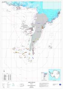
|
Lambert Operations Area View Map Details
Map ID - 114
Published On - August-1994 Scale - 1 : 1 000 000 Physical Size- 117 x 83.5 cm 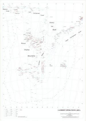
|
Mawson Escarpment - McIntyre Bluffs to Turk Glacier View Map Details
Map ID - 13997
Published On - October-2011 Scale - 1 : 55 000 Physical Size- - 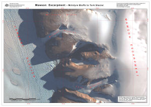
|
Mount Menzies View Map Details
Map ID - 13996
Published On - October-2011 Scale - 1 : 200 000 Physical Size- - 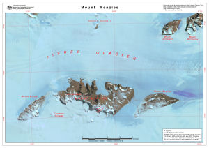
|
Prince Charles Mountains, Lambert Glacier and Amery Ice Shelf : Flight Lines and Photo Centres View Map Details
Map ID - 13031
Published On - September-2003 Scale - 1 : 1 000 000 Physical Size- 95 x 142 cm 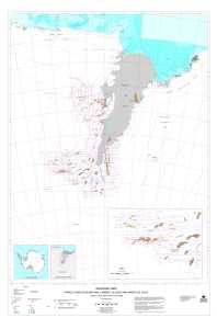
|
Prince Charles Mountains, Lambert Glacier, Amery Ice Shelf: North View Map Details
Map ID - 13112
Published On - October-2004 Scale - 1 : 2 000 000 Physical Size- 29.7 x 42 cm A3 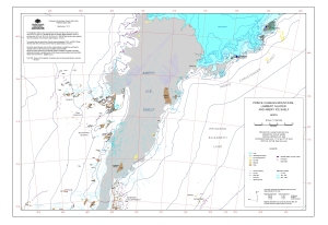
|
Prince Charles Mountains, Lambert Glacier, Amery Ice Shelf: South View Map Details
Map ID - 13113
Published On - October-2004 Scale - 1 : 2 000 000 Physical Size- 29.7 x 42 cm A3 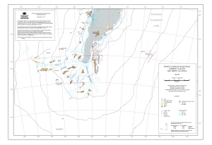
|
Regional Map - Prince Charles Mountains, Lambert Glacier and Amery Ice Shelf View Map Details
Map ID - 12961
Published On - April-2003 Scale - 1 : 1 000 000 Physical Size- 142 x 95 cm 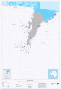
|
Showing all 8 maps.