Heard and McDonald Islands
View All Map ListsShowing 41 to 60 of 69 maps. On page 3 of 4, go to the Previous Page or Next Page
Heard Island, GeoEye satellite imagery - 2 February 2012, Map 1 of 5 View Map Details
Map ID - 14520
Published On - July-2016 Scale - 1 : 50 000 Physical Size- - 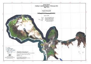
|
Heard Island, GeoEye satellite imagery - 2 February 2012, Map 2 of 5 View Map Details
Map ID - 14521
Published On - July-2016 Scale - 1 : 50 000 Physical Size- - 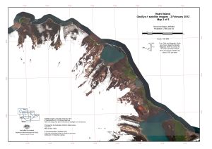
|
Heard Island, GeoEye satellite imagery - 2 February 2012, Map 3 of 5 View Map Details
Map ID - 14522
Published On - July-2016 Scale - 1 : 50 000 Physical Size- - 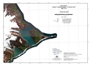
|
Heard Island, GeoEye satellite imagery - 2 February 2012, Map 4 of 5 View Map Details
Map ID - 14523
Published On - July-2016 Scale - 1 : 50 000 Physical Size- - 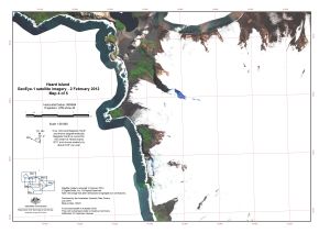
|
Heard Island, GeoEye satellite imagery - 2 February 2012, Map 5 of 5 View Map Details
Map ID - 14524
Published On - July-2016 Scale - 1 : 50 000 Physical Size- - 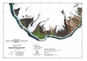
|
Heard Island, GeoEye satellite imagery - 6 February 2014, Map 1 of 5 View Map Details
Map ID - 14525
Published On - July-2016 Scale - 1 : 50 000 Physical Size- - 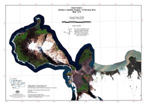
|
Heard Island, GeoEye satellite imagery - 6 February 2014, Map 2 of 5 View Map Details
Map ID - 14526
Published On - July-2016 Scale - 1 : 50 000 Physical Size- - 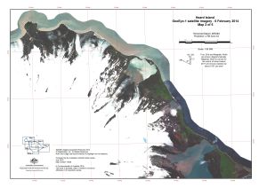
|
Heard Island, GeoEye satellite imagery - 6 February 2014, Map 3 of 5 View Map Details
Map ID - 14527
Published On - July-2016 Scale - 1 : 50 000 Physical Size- - 
|
Heard Island, GeoEye satellite imagery - 6 February 2014, Map 4 of 5 View Map Details
Map ID - 14528
Published On - July-2016 Scale - 1 : 50 000 Physical Size- - 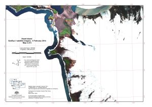
|
Heard Island, GeoEye satellite imagery - 6 February 2014, Map 5 of 5 View Map Details
Map ID - 14529
Published On - July-2016 Scale - 1 : 50 000 Physical Size- - 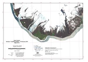
|
Heard Island, Proposed field camp locations for Science Expedition 2003-04. View Map Details
Map ID - 13003
Published On - July-2003 Scale - 1 : 120 000 Physical Size- 29.7 x 42 cm A3 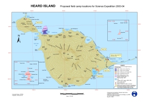
|
Heard Island: aerial photography View Map Details
Map ID - 13044
Published On - November-2003 Scale - 1 : 170 000 Physical Size- - 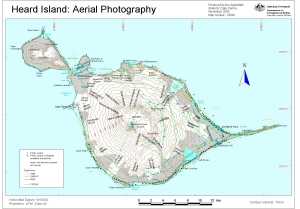
|
Heard Island: Proposed Ramsar wetland areas View Map Details
Map ID - 13224
Published On - January-2006 Scale - 1 : 120 000 Physical Size- 29.7 x 42 cm A3 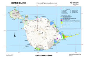
|
Islands in the Southern Indian Ocean. Heard and McDonald Islands. British Admiralty Chart (2317) no. 802 View Map Details
Map ID - 14361
Published On - 1874 Scale - Not Entered Physical Size- 44 x 56 cm 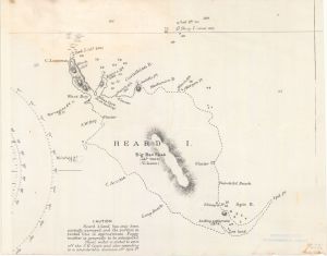
|
Laurens Peninsula : satellite image map, Heard Island View Map Details
Map ID - 13030
Published On - October-2003 Scale - 1 : 12 500 Physical Size- 69 x 64 cm 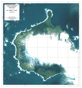
|
Location of Heard Island and McDonald Islands View Map Details
Map ID - 14237
Published On - July-2013 Scale - 1 : 26 000 000 Physical Size- 21 x 29.7 cm A4 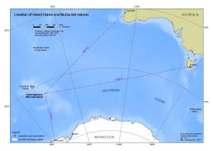
|
Long Beach, Heard Island View Map Details
Map ID - 13102
Published On - August-2004 Scale - 1 : 29 250 Physical Size- 6.7 x 9.7 cm 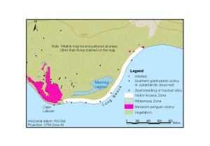
|
McDonald Islands View Map Details
Map ID - 13177
Published On - August-2005 Scale - 1 : 39 693 Physical Size- 12 x 16 cm 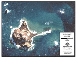
|
McDonald Islands : satellite image map View Map Details
Map ID - 13038
Published On - February-2004 Scale - 1 : 7500 Physical Size- 63 x 83 cm 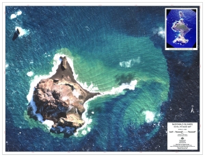
|
McDonald Islands Satellite Image Map View Map Details
Map ID - 14506
Published On - November-2012 Scale - 1 : 38 000 Physical Size- 7.5 x 10 cm 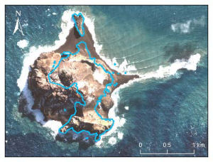
|
Showing 41 to 60 of 69 maps. On page 3 of 4, go to the Previous Page or Next Page