Cape Denison / Commonwealth Bay
View All Map ListsShowing 21 to 33 of 33 maps. On page 2 of 2, go to the Previous Page
Cape Denison to Cook Ice Shelf [Black and white] View Map Details
Map ID - 14124
Published On - July-2012 Scale - 1 : 3 500 000 Physical Size- 12 x 15 cm ![Cape Denison to Cook Ice Shelf [Black and white]](/database/mapcat/george_v_land/cape_denison_cook_ice_shelf_14124_thumb.jpg)
|
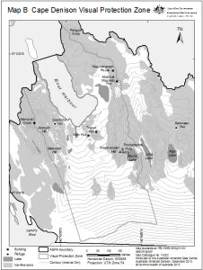
Cape Denison Visual Protection Zone
|
Cape Denison, Mackellar Islands and George V Land Coast View Map Details
Map ID - 12753
Published On - December-2001 Scale - 1 : 25 000 Physical Size- 62 x 97 cm 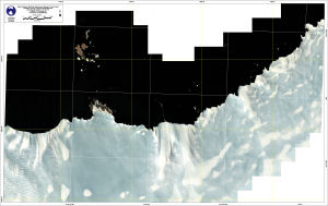
|
Commonwealth Bay (Antarctica) View Map Details
Map ID - 14055
Published On - 1988 Scale - 1 : 2000 Physical Size- 84 x 105 cm Vertical Unit - Meters 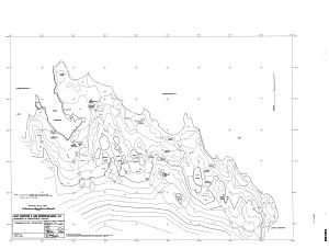
|
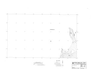
Commonwealth Bay (Antarctica) Detail Engineering Survey
|
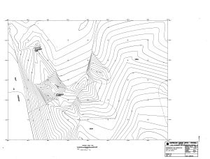
Commonwealth Bay (Antarctica)
|
Commonwealth Bay (Antarctica)
|
Commonwealth Bay (Antarctica)
|
Location of Cape Denison, Antarctica View Map Details
Map ID - 14255
Published On - September-2013 Scale - 1 : 54 000 000 Physical Size- 22.5 x 22 cm 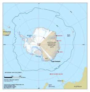
|
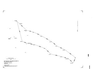
Map showing track of the Southern sledging party from the main base [Commonwealth Bay] View Map Details
Map ID - 13579
Published On - 1942 Scale - 1 : 3 000 000 Physical Size- 20.5 x 13 cm ![Map showing track of the Southern sledging party from the main base [Commonwealth Bay]](/database/mapcat/cdenison/route_southern_sledging_party_13579_thumb.jpg)
|
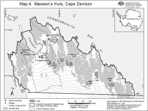
Mawson's Huts, Cape Denison
|
The coast of Adelie Land and sledge tracks of the Western Sledge Party View Map Details
Map ID - 13611
Published On - 1942 Scale - Not Entered Physical Size- 12.7 x 22.7 cm 
|
The Main Base locality, Cape Denison View Map Details
Map ID - 14284
Published On - January-1942 Scale - 1 : 4020 Physical Size- 18.9 x 26.1 cm 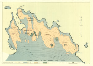
|
Showing 21 to 33 of 33 maps. On page 2 of 2, go to the Previous Page