Air transport maps
View All Map ListsShowing 21 to 34 of 34 maps. On page 2 of 2, go to the Previous Page
Davis Ski Landing Areas View Map Details
Map ID - 13952
Published On - April-2011 Scale - 1 : 200 000 Physical Size- 19 x 24.3 cm 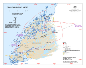
|
East Antarctica Air Operations Map View Map Details
Map ID - 14477
Published On - August-2015 Scale - 1 : 4 000 000 Physical Size- 122 x 91 cm 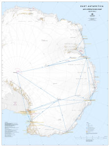
|
Great circle distances to and within East Antarctica (kilometres) View Map Details
Map ID - 12133
Published On - July-2000 Scale - 1 : 27 000 000 Physical Size- 42 x 29.7 cm A3 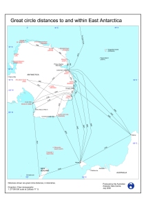
|
Great circle distances to and within East Antarctica (nautical miles) View Map Details
Map ID - 11105
Published On - June-1999 Scale - 1 : 27 000 000 Physical Size- 29.7 x 21 cm 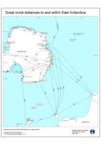
|
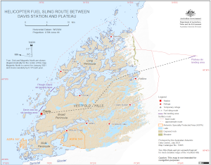
Helicopter Fuel Sling Route Between
|
Mawson fixed-wing suggested flight paths View Map Details
Map ID - 15982
Published On - October-2023 Scale - 1 : 70 000 Physical Size- 21 x 29.7 cm A4 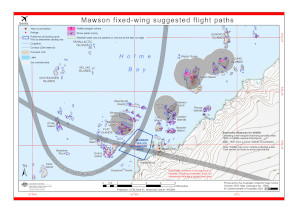
|
Mawson Plateau Ski Landing Area View Map Details
Map ID - 14466
Published On - May-2015 Scale - 1 : 50 000 Physical Size- 11 x 14.7 cm 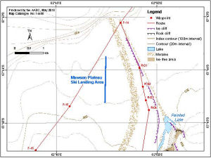
|
Mawson Ski Landing Areas View Map Details
Map ID - 14599
Published On - July-2017 Scale - 1 : 120 000 Physical Size- 19 x 24.3 cm 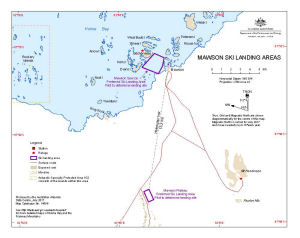
|
Mitchell Peninsula Field Landing Site View Map Details
Map ID - 15990
Published On - October-2023 Scale - 1 : 45 000 Physical Size- 21 x 29.7 cm A4 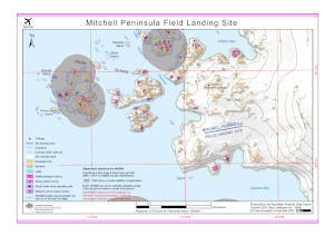
|
Operations Map: 10°E to 65°E View Map Details
Map ID - 13717
Published On - May-2010 Scale - 1 : 2 000 000 Physical Size- 82.5 x 134.5 cm 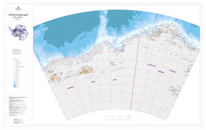
|
Operations Map: 105°E to 160°E View Map Details
Map ID - 13468
Published On - May-2008 Scale - 1 : 2 000 000 Physical Size- 82.5 x 134.5 cm 
|
Operations Map: 60°E to 115°E View Map Details
Map ID - 13487
Published On - June-2009 Scale - 1 : 2 000 000 Physical Size- 82.5 x 134.5 cm 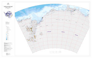
|
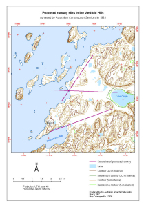
Proposed runway sites in the Vestfold Hills
|
Proposed runway sites in the Vestfold Hills
|

Showing 21 to 34 of 34 maps. On page 2 of 2, go to the Previous Page