Bathymetric maps
View All Map ListsShowing 1 to 20 of 22 maps. On page 1 of 2, go to the Next Page
2023/24 V3 Approaches to Mawson View Map Details
Map ID - 16165
Published On - September-2024 Scale - 1 : 8500 Physical Size- 29.7 x 21 cm A4 Vertical Unit - Meters 
|
Australian Exclusive Economic Zone: Macquarie Island East View Map Details
Map ID - 13283
Published On - July-2006 Scale - 1 : 1 000 000 Physical Size- 118.8 x 82 cm 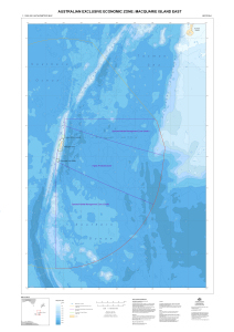
|
Australian Exclusive Economic Zone: Macquarie Island West View Map Details
Map ID - 13302
Published On - August-2006 Scale - 1 : 1 000 000 Physical Size- 118.8 x 82 cm 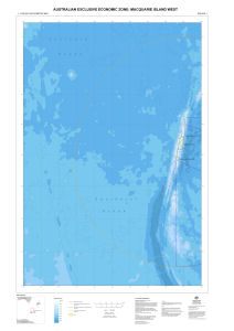
|
Australian Exclusive Economic Zone: Macquarie Island West View Map Details
Map ID - 13282
Published On - July-2006 Scale - 1 : 1 000 000 Physical Size- 118.8 x 82 cm 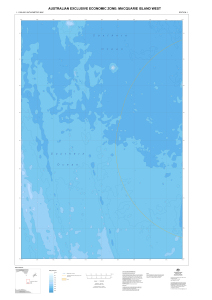
|
Balleny - Bathymetry View Map Details
Map ID - 13422
Published On - January-1970 Scale - 1 : 1 000 000 Physical Size- 76 x 98 cm
No previews available
|
Bathymetric chart of the Kerguelen Plateau View Map Details
Map ID - 13453
Published On - 1987 Scale - 1 : 5 000 000 Physical Size- 96 x 68 cm 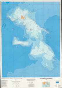
|
Heard Island (1:1 million bathymetric map and soundings map) View Map Details
Map ID - 122
Published On - February-1995 Scale - 1 : 1 000 000 Physical Size- 59 x 73 cm 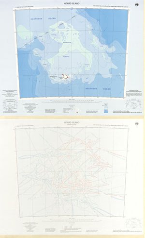
|
Kerguelen Plateau to Antarctica View Map Details
Map ID - 14033
Published On - February-2013 Scale - 1 : 4 000 000 Physical Size- 98 x 96 cm 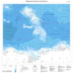
|
Prydz Bay View Map Details
Map ID - 7
Published On - September-1997 Scale - 1 : 1 000 000 Physical Size- 70 x 75 cm 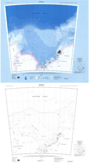
|
Prydz Bay - Amery Ice Shelf View Map Details
Map ID - 435
Published On - March-1996 Scale - 1 : 500 000 Physical Size- 64 x 99 cm
No previews available
|
Prydz Bay - Edward VIII Gulf to Mawson View Map Details
Map ID - 437
Published On - March-1996 Scale - 1 : 500 000 Physical Size- 81.5 x 86.5 cm
No previews available
|
Prydz Bay - Four Ladies' Bank View Map Details
Map ID - 433
Published On - March-1996 Scale - 1 : 500 000 Physical Size- 84 x 110 cm
No previews available
|
Prydz Bay - Mawson to Prydz Bay View Map Details
Map ID - 431
Published On - March-1996 Scale - 1 : 500 000 Physical Size- 84 x 110 cm
No previews available
|
Southern Ocean : 30°S to 80°S Eastern Sheet View Map Details
Map ID - 13277
Published On - August-2006 Scale - 1 : 12 000 000 Physical Size- 84.1 x 118.9 cm 
|
Southern Ocean : 30°S to 80°S Western Sheet View Map Details
Map ID - 13276
Published On - August-2006 Scale - 1 : 12 000 000 Physical Size- 84.1 x 118.9 cm 
|
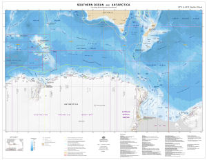
Southern Ocean and Antarctica
|
Southern Ocean and Antarctica
|
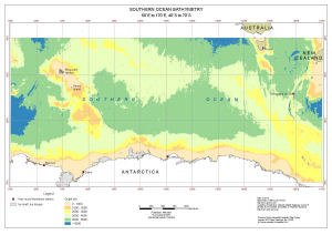
Southern Ocean Bathymetry
|
The International Bathymetric Chart of the Southern Ocean (IBCSO) View Map Details
Map ID - 14227
Published On - June-2013 Scale - 1 : 7 000 000 Physical Size- 120 x 100 cm 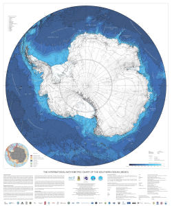
|
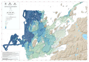
Vestfold Hills Bathymetry
|

Showing 1 to 20 of 22 maps. On page 1 of 2, go to the Next Page