ANARE Catalogue of Maps and Hydrographic Charts 1997
View All Map ListsThe map below shows the extents of each map in this list Alt+Shift+Drag to rotate the map
Showing 1 to 20 of 85 maps. On page 1 of 5, go to the Next Page
Aker Peaks & Cape Borley, Enderby Land - Kemp Land View Map Details
Map ID - 78
Published On - September-1967 Scale - 1 : 250 000 Physical Size- 71 x 67 cm 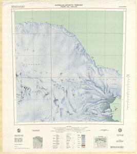
|
Amanda Bay, Princess Elizabeth Land View Map Details
Map ID - 54
Published On - December-1991 Scale - 1 : 100 000 Physical Size- 69 x 99.5 cm 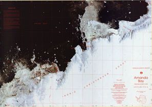
|
Aus 450 Australian Antarctic Territory - Cape Rouse to Sandefjord Bay View Map Details
Map ID - 314
Published On - November-1991 Scale - 1 : 500 000 Physical Size- 110 x 72 cm 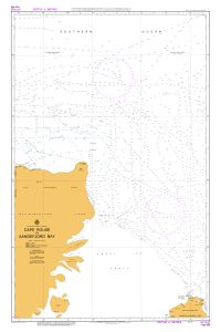
|
Beaver Lake View Map Details
Map ID - 940
Published On - 1972 Scale - 1 : 250 000 Physical Size- 70 x 85.5 cm 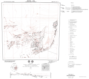
|
Beaver Lake, Mac.Robertson Land View Map Details
Map ID - 57
Published On - 1990 Scale - 1 : 100 000 Physical Size- 70 x 86.5 cm Vertical Unit - Meters 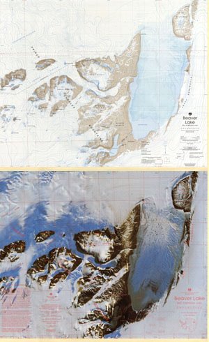
|
Bjerko Peninsula, Mac.Robertson Land View Map Details
Map ID - 79
Published On - March-1970 Scale - 1 : 250 000 Physical Size- 65 x 60.5 cm 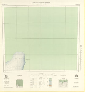
|
Bunger Hills East, Wilkes Land View Map Details
Map ID - 24
Published On - June-1992 Scale - 1 : 50 000 Physical Size- 93 x 69 cm 
|
Bunger Hills West, Wilkes Land, Queen Mary Land View Map Details
Map ID - 25
Published On - June-1992 Scale - 1 : 50 000 Physical Size- 93 x 69 cm 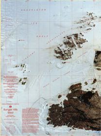
|
Charybdis Glacier, Prince Charles Mountains, Mac.Robertson Land View Map Details
Map ID - 111
Published On - February-1993 Scale - 1 : 500 000 Physical Size- 54 x 69 cm 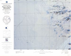
|
Crohn Massif View Map Details
Map ID - 944
Published On - 1972 Scale - 1 : 250 000 Physical Size- 67.5 x 84 cm 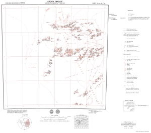
|
Cumpston Massif View Map Details
Map ID - 934
Published On - 1975 Scale - 1 : 250 000 Physical Size- 75 x 101 cm 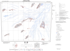
|
Edward VIII Gulf, Kemp Land View Map Details
Map ID - 61
Published On - November-1993 Scale - 1 : 100 000 Physical Size- 69.5 x 99.5 cm 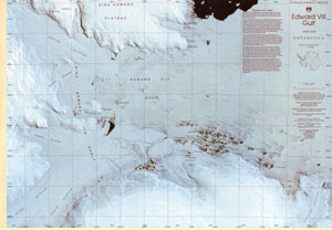
|
Fisher Massif - Mt. Hicks View Map Details
Map ID - 13051
Published On - 1972 Scale - 1 : 250 000 Physical Size- 65 x 98 cm 
|
Fisher Massif, Mac.Robertson Land View Map Details
Map ID - 62
Published On - July-1992 Scale - 1 : 100 000 Physical Size- 101 x 68 cm 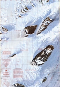
|
Framnes Mountains / Mac.Robertson Land View Map Details
Map ID - 63
Published On - June-1991 Scale - 1 : 100 000 Physical Size- 95.5 x 88.5 cm Vertical Unit - Meters 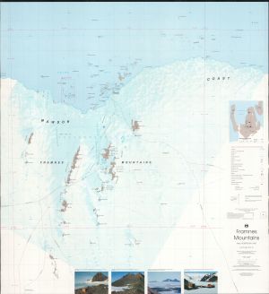
|
Framnes Mountains, Mac.Robertson Land View Map Details
Map ID - 64
Published On - January-1990 Scale - 1 : 100 000 Physical Size- 95.5 x 88.5 cm 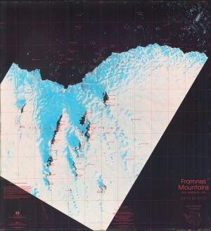
|
Framnes Mountains, Mac.Robertson Land View Map Details
Map ID - 2
Published On - June-1997 Scale - 1 : 100 000 Physical Size- 98 x 69 cm 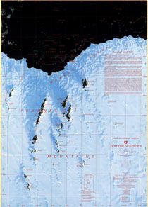
|
Geology of Enderby Land & Western Kemp Land View Map Details
Map ID - 901
Published On - 1985 Scale - 1 : 500 000 Physical Size- 87 x 114.5 cm 
|
Geology of the Southern Prince Charles Mountains View Map Details
Map ID - 900
Published On - 1982 Scale - 1 : 500 000 Physical Size- 85 x 112.8 cm 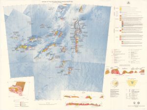
|
Gillock Island, Mac.Robertson Land, Princess Elizabeth Land View Map Details
Map ID - 65
Published On - November-1993 Scale - 1 : 100 000 Physical Size- 99.5 x 68 cm 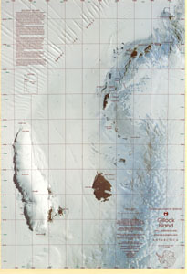
|
Showing 1 to 20 of 85 maps. On page 1 of 5, go to the Next Page