Antarctic Maps
Large scale maps covering scales below 1:100 000
-
that cover
| 68° 21' 00.0" S to 68° 27' 30.0" S |
| 78° 07' 00.0" E to 78° 35' 00.0" E |
For additional maps, see the Mapping for the Map Catalogue.
Use the link on the Map No or the preview if it exists to see full details.
| Map No | Map Title | Year | Scale | Preview |
|---|---|---|---|---|
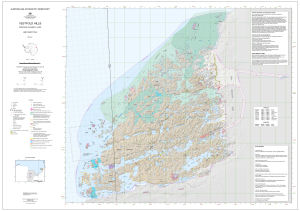
| 421 | Davis | 1984 | 1 : 18 000 | |
| 2031 | Draft - Vestfold Hills | 1997 | 1 : 25 000 | |
| 2032 | Draft - Vestfold Hills | 1997 | 1 : 25 000 | |
| 2033 | Draft - Vestfold Hills | 1997 | 1 : 25 000 | |
| 2034 | Draft - Vestfold Hills | 1997 | 1 : 25 000 | |
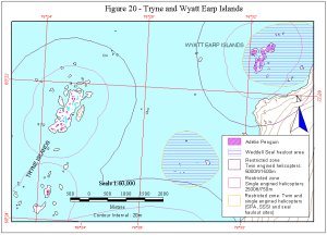
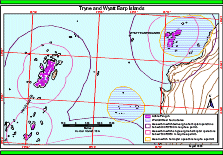
| 11384 | Figure 20 - Tryne and Wyatt Islands Helicopter Operations | 1999 | 1 : 60 000 |
 |
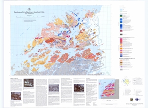
| 12717 | Geology of the Northern Vestfold Hills, East Antarctica | 2001 | 1 : 30 000 |
 |
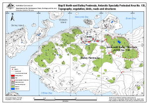
| 13512 | North-east Bailey Peninsula, Antarctic Specially Protected Area No. 135 : Topography, vegetation, birds, roads and structures (Map B) | 2008 | 1 : 12 000 |
 |
| 44 | Preliminary - Rauer Group / Princess Elizabeth Land | 1992 | 1 : 50 000 | |
| 45 | Preliminary - Rauer Group / Princess Elizabeth Land | 1992 | 1 : 50 000 | |
| 46 | Preliminary - Rauer Group / Princess Elizabeth Land | 1992 | 1 : 50 000 | |
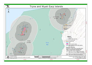
| 13893 | Tryne and Wyatt Earp Islands (Helicopter Operations) | 2011 | 1 : 40 000 |
 |
| 12565 | Tryne and Wyatt Islands (Helicopter Operations) | 2000 | 1 : 33 500 |
 |
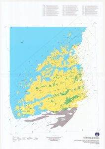
| 12890 | Vestfold Hills | 2001 | 1 : 50 000 |
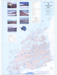 |
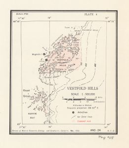
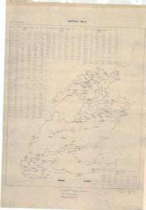
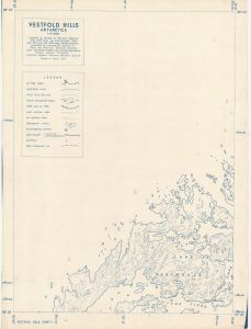
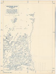
| 915 | Vestfold Hills | 1958 | 1 : 50 000 |
 |
| 1738 | Vestfold Hills | 1992 | 1 : 50 000 | |
| 1764 | Vestfold Hills | 1973 | 1 : 50 000 | |
| 2025 | Vestfold Hills | 1965 | 1 : 50 000 | |
| 2026 | Vestfold Hills | 1997 | 1 : 25 000 | |
| 2027 | Vestfold Hills | 1997 | 1 : 25 000 | |
| 14132 | Vestfold Hills | 1989 | 1 : 50 000 |
 |
| 14202 | Vestfold Hills | 2013 | 1 : 50 000 |
 |
| 1795 | Vestfold Hills - shows Long Peninsula | 1 : 20 000 | ||
| 1796 | Vestfold Hills - shows Tryne Bay, Sound and Fjord | 1959 | 1 : 20 000 | |
| 49 | Vestfold Hills / Princess Elizabeth Land | 1982 | 1 : 50 000 |
 |
| 14042 | Vestfold Hills : Aerial photography for 1996/97 and aerial triangulation for 1994/95 | 1998 | 1 : 50 000 |
 |
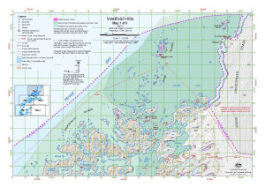
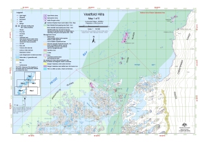
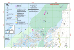
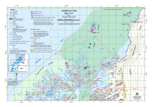
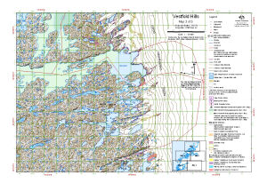
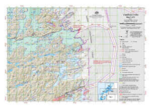
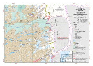
| 13979 | Vestfold Hills : Map 1 of 5 | 2012 | 1 : 50 000 |
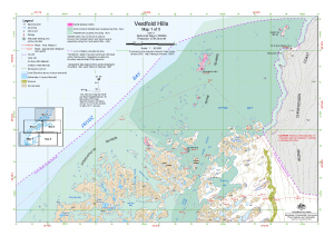 |
| 14515 | Vestfold Hills : Map 1 of 5 | 2016 | 1 : 50 000 |
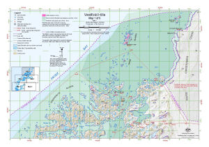 |
| 14590 | Vestfold Hills : Map 1 of 5 | 2017 | 1 : 50 000 |
 |
| 13093 | Vestfold Hills : Map 1 of 5 | 2004 | 1 : 50 000 |
 |
| 13151 | Vestfold Hills : Map 1 of 5 | 2005 | 1 : 50 000 |
 |
| 13482 | Vestfold Hills : Map 1 of 5 | 2008 | 1 : 50 000 |
 |
| 13314 | Vestfold Hills : Map 1 of 5 | 2006 | 1 : 50 000 |
 |
| 13417 | Vestfold Hills : Map 1 of 5 | 2007 | 1 : 50 000 |
 |
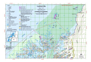
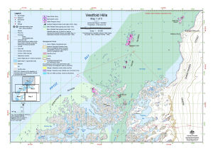
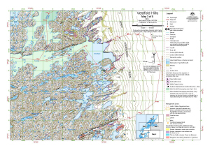
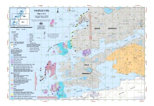
| 13419 | Vestfold Hills : Map 3 of 5 | 2007 | 1 : 50 000 |
 |
| 13315 | Vestfold Hills : Map 3 of 5 | 2006 | 1 : 50 000 |
 |
| 13484 | Vestfold Hills : Map 3 of 5 | 2008 | 1 : 50 000 |
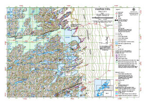 |
| 13153 | Vestfold Hills : Map 3 of 5 | 2005 | 1 : 50 000 |
 |
| 13095 | Vestfold Hills : Map 3 of 5 | 2004 | 1 : 50 000 |
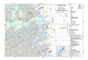 |
| 14592 | Vestfold Hills : Map 3 of 5 | 2017 | 1 : 50 000 |
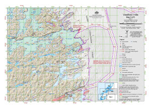 |
| 14517 | Vestfold Hills : Map 3 of 5 | 2016 | 1 : 50 000 |
 |
| 13981 | Vestfold Hills : Map 3 of 5 | 2012 | 1 : 50 000 |
 |
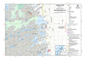
| 13096 | Vestfold Hills : Map 4 of 5 | 2004 | 1 : 50 000 |
 |
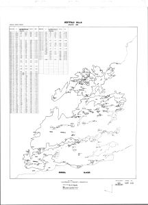
| 14130 | Vestfold Hills Lake Levels 1979 to 1985 | 1985 | 1 : 50 000 |
 |
| 14131 | Vestfold Hills Lake Levels 1979 to 1988 | 1988 | 1 : 50 000 |
 |
| 14232 | Vestfold Hills Level Control Network 1979 (3 maps) | 1979 | 1 : c50 000 | |
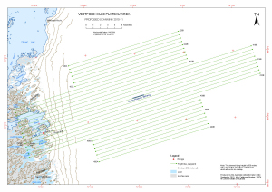
| 13874 | Vestfold Hills Plateau Area Proposed Scanning 2010-11 |
2010 | 1 : 90 000 |
 |
| 11065 | Vestfold Hills Topographic - 20m Contours. Black and white version | 1999 | 1 : 50 000 | |
| 11047 | Vestfold Hills Topographic - 5m Contours | 1999 | 1 : 50 000 |
 |
| 1751 | Vestfold Hills, Antarctica 1958 1:20,000 (Sheet 1) | 1958 | 1 : 20 000 |
 |
| 1752 | Vestfold Hills, Antarctica 1958 1:20,000 (Sheet 2) | 1958 | 1 : 20 000 |
 |
| 51 | Vestfold Hills, Princess Elizabeth Land | 1991 | 1 : 50 000 |
 |
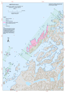
| 13719 | Vestfold Hills: Proposed Aerial Photography of Penguin Colonies 2009-10 Map 2 |
2009 | 1 : 50 000 |
 |
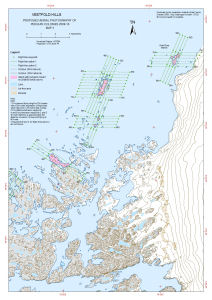
| 13720 | Vestfold Hills: Proposed Aerial Photography of Penguin Colonies 2009-10 Map 3 |
2009 | 1 : 50 000 |
 |