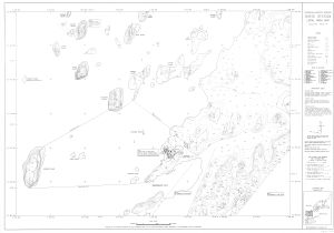
Antarctic Maps
Large scale maps covering scales below 1:100 000
-
that cover
| 68° 31' 45.0" S to 68° 35' 33.0" S |
| 77° 55' 31.0" E to 78° 04' 43.0" E |
For additional maps, see the Mapping for the Map Catalogue.
Use the link on the Map No or the preview if it exists to see full details.
| Map No | Map Title | Year | Scale | Preview |
|---|---|---|---|---|
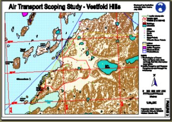
| 11347 | Air Transport Scoping Study - Davis | 1999 | 1 : 36 000 |
 |
| 13703 | Annex B: Davis Station Spill Risk Assessment Map Land and Marine-Based Spills. |
2008 | 1 : 1000 |
 |
| 14330 | Annex B: Davis Station Spill Risk Assessment Map Land and Marine-Based Spills. |
2014 | 1 : 1000 |
 |
| 14328 | Annex B: Davis Station Spill Risk Assessment Map Land-Based Spills. |
2002 | 1 : 1000 |
 |
| 14329 | Annex B: Davis Station Spill Risk Assessment Map Land-Based Spills. |
2004 | 1 : 1000 |
 |
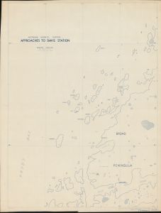
| 1759 | Approaches to Davis Station | 1958 | 1 : 20 000 |
 |
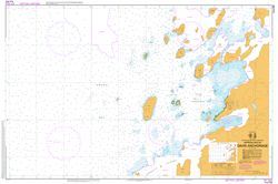
| 13018 | AUS 602 Approaches to Davis Anchorage | 2019 | 1 : 12 500 |
 |
| 14178 | Casey : Antarctica base - detail engineering survey | 1986 | 1 : 500 | |
| 1750 | Davis | 1958 | 1 : 20 000 | |
| 14176 | Davis : Antarctica Base - detail engineering survey (Sheet 1 of 8) | 1989 | 1 : 500 |
 |
| 14177 | Davis : Antarctica Base - detail engineering survey (Sheet 1 of 8) | 1988 | 1 : 500 |
 |
| 14194 | Davis : Antarctica Base - Survey Marks Plan | 1988 | 1 : 2000 |
 |
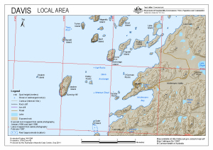
| 13987 | Davis : Local Area | 2011 | 1 : 40 000 |
 |
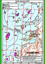
| 12557 | Davis approach paths (Helicopter Operations) | 2000 | 1 : 40 500 |
 |
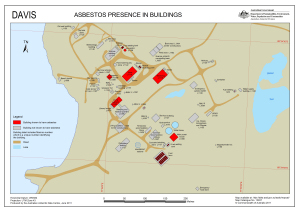
| 13937 | Davis Asbestos presence in buildings | 2011 | 1 : 1750 |
 |
| 14139 | Davis Bathymetric Map | 1984 | 1 : 18 200 |
 |
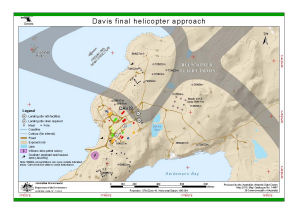
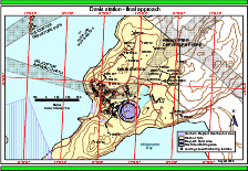
| 14121 | Davis final helicopter approach (Helicopter Operations) | 2012 | 1 : 8500 |
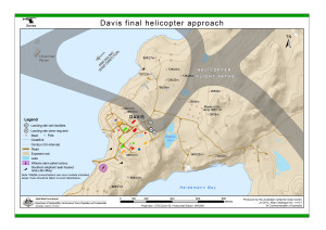 |
| 13889 | Davis final helicopter approach (Helicopter Operations) | 2011 | 1 : 8500 |
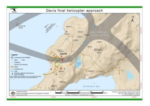 |
| 14467 | Davis final helicopter approach (Helicopter Operations) | 2015 | 1 : 8500 |
 |
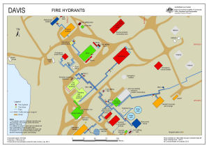
| 14219 | Davis Fire Hydrants (Superceded) | 2013 | 1 : 1100 |
 |
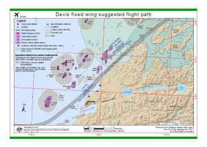
| 13931 | Davis fixed wing suggested flight path | 2012 | 1 : 40 000 |
 |
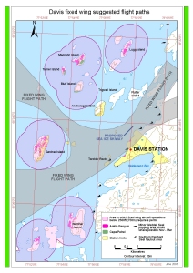
| 13026 | Davis fixed wing suggested flight paths | 2003 | 1 : 40 000 |
 |
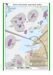
| 13888 | Davis helicopter approach paths (Helicopter Operations) | 2011 | 1 : 41 000 |
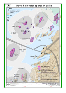 |
| 14122 | Davis helicopter approach paths (Helicopter Operations) | 2012 | 1 : 41 000 |
 |
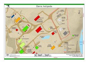
| 14220 | Davis Helipads | 2013 | 1 : 1100 |
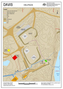 |
| 14468 | Davis helipads | 2015 | 1 : 1700 |
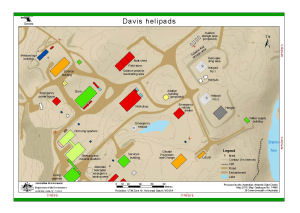 |
| 14604 | Davis helipads (Helicopter Operations) | 2017 | 1 : 1700 |
 |
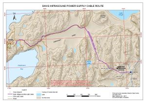
| 14571 | Davis Infrasound Power Supply Cable Route | 2018 | 1 : 17 000 |
 |
| 14465 | Davis Sea Ice Ski Landing Area | 2015 | 1 : 43 000 |
 |
| 12558 | Davis station - final approach (Helicopter Operations) | 2000 | 1 : 8300 |
 |
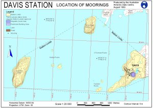
| 11305 | Davis Station - Location of Moorings | 1999 | 1 : 20 000 |
 |
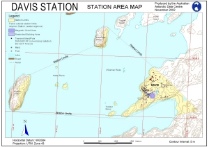
| 11114 | Davis Station Area Map | 1999 | 1 : 1500 |
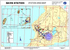 |
| 10905 | Davis Station Area Map | 1999 | 1 : 20 000 |
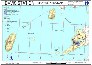 |
| 12441 | Davis Station Area Map | 2000 | 1 : 20 000 |
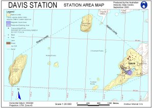 |
| 12709 | Davis Station Area Map | 2000 | 1 : 1500 |
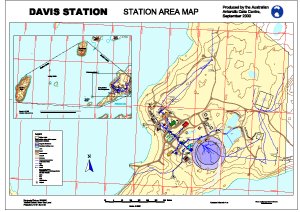 |
| 12891 | Davis Station Area Map | 2002 | 1 : 23 000 |
 |
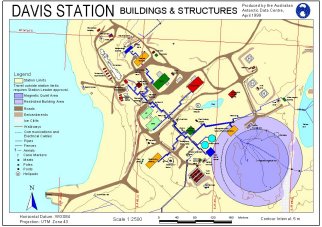
| 12440 | Davis Station Buildings and Structures | 2000 | 1 : 2500 |
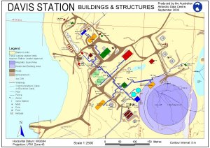 |
| 13053 | Davis Station Buildings and Structures | 2004 | 1 : 2500 |
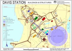 |
| 10906 | Davis Station Buildings and Structures | 1999 | 1 : 2500 |
 |
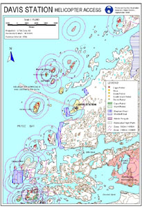
| 10305 | Davis Station Helicopter Access | 1998 | 1 : 75 000 |
 |
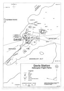
| 12325 | Davis Station Helicopter Flight Paths | 1996 | 1 : 10 000 |
 |
| 5154 | Davis Station Local Area Map | 1992 | 1 : 10 000 |
 |
| 1776 | Davis Station local Area Map | 1956 | 1 : 10 000 | |
| 14060 | Davis Station local area map | 1995 | 1 : 10 000 |
 |
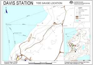
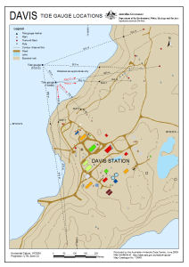
| 13065 | Davis Station Tide Gauge Location | 2004 | 1 : 2800 |
 |
| 12705 | Davis Station Tide Gauge Locations | 2001 | 1 : 2500 |
 |
| 13385 | Davis Station: Buildings and Structures | 2007 | 1 : 2500 |
 |
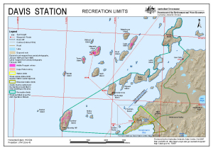
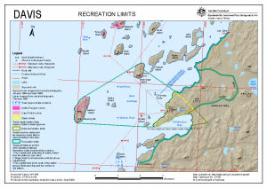
| 13387 | Davis Station: Recreation Limits | 2007 | 1 : 40 000 |
 |
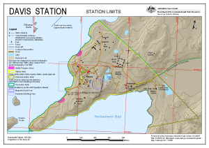
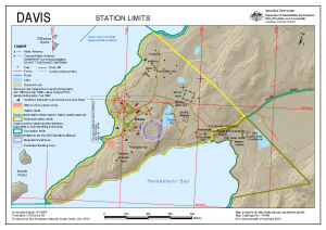
| 13386 | Davis Station: Station Limits | 2007 | 1 : 10 000 |
 |
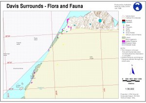
| 11265 | Davis Surrounds - Flora and Fauna | 1999 | 1 : 36 000 |
 |
| 14119 | Davis with Vestfold Hills and Antarctica insets [Black and white] | 2012 | 1 : 14 000 |
 |
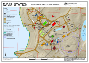
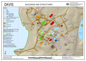
| 14148 | Davis: Buildings and Structures | 2012 | 1 : 2500 |
 |
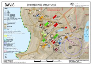
| 14605 | Davis: Buildings and Structures | 2017 | 1 : 2500 |
 |
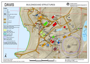
| 13699 | Davis: Buildings and Structures | 2009 | 1 : 2500 |
 |
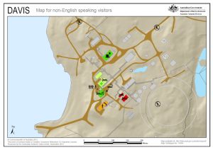
| 14494 | Davis: Critical safety map for non-English speaking visitors | 2015 | 1 : 2500 |
 |
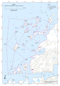
| 13734 | Davis: Proposed Hydrographic Surveying 2009-10 | 2009 | 1 : 34 000 |
 |
| 14150 | Davis: Recreation Limits | 2012 | 1 : 40 000 |
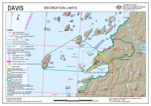 |
| 14296 | Davis: Recreation Limits | 2014 | 1 : 40 000 |
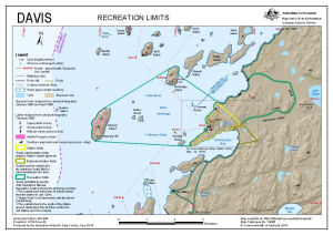 |
| 14595 | Davis: Recreation Limits | 2017 | 1 : 40 000 |
 |
| 14630 | Davis: Recreation Limits | 2017 | 1 : 40 000 |
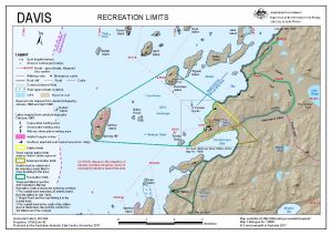 |
| 13700 | Davis: Recreation Limits | 2009 | 1 : 40 000 |
 |
| 13701 | Davis: Station Limits | 2009 | 1 : 10 000 |
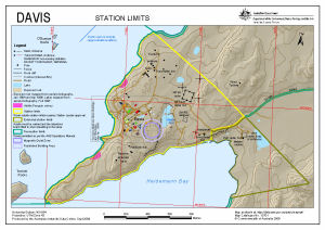 |
| 14606 | Davis: Station Limits | 2017 | 1 : 10 000 |
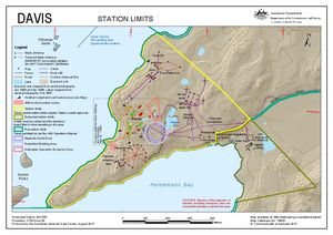 |
| 14149 | Davis: Station Limits | 2012 | 1 : 10 000 |
 |
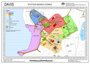
| 13793 | Davis: Station Search Zones | 2010 | 1 : 2700 |
 |
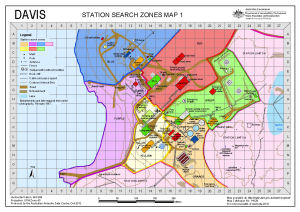
| 14129 | Davis: Station Search Zones Map 1 | 2012 | 1 : 2700 |
 |
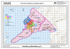
| 14138 | Davis: Station Search Zones Map 2 | 2012 | 1 : 10 500 |
 |
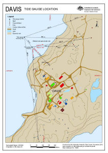
| 14262 | Davis: Tide Gauge Location | 2013 | 1 : 4200 |
 |
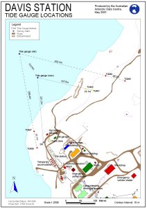
| 13649 | Davis: Tide Gauge Locations | 2009 | 1 : 4200 |
 |
| 2031 | Draft - Vestfold Hills | 1997 | 1 : 25 000 | |
| 2032 | Draft - Vestfold Hills | 1997 | 1 : 25 000 | |
| 2035 | Draft - Vestfold Hills | 1997 | 1 : 25 000 | |
| 2036 | Draft - Vestfold Hills | 1997 | 1 : 25 000 | |
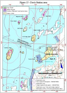
| 11379 | Figure 15 - Davis Station area Helicopter Operations | 1999 | 1 : 50 000 |
 |
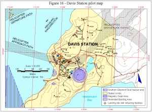
| 11380 | Figure 16 - Davis Station pilot map Helicopter Operations | 1999 | 1 : 10 000 |
 |
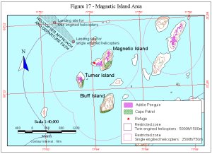
| 11381 | Figure 17 - Magnetic Island Area Helicopter Operations | 1999 | 1 : 40 000 |
 |
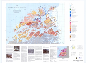
| 12717 | Geology of the Northern Vestfold Hills, East Antarctica | 2001 | 1 : 30 000 |
 |
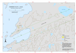
| 13730 | Heidemann Valley and Davis: Proposed Scanning 2009-10 | 2009 | 1 : 15 000 |
 |
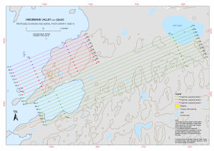
| 13729 | Heidemann Valley and Davis: Proposed Scanning and Aerial Photography 2009-10 | 2009 | 1 : 15 000 |
 |
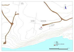
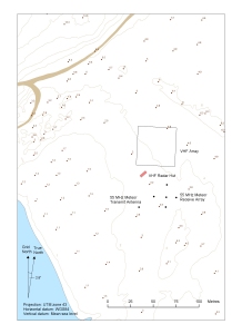
| 13205 | Ionosonde at Davis Station, Antarctica | 2005 | 1 : 1400 |
 |
| 14044 | Late Archaean - early Proterozoic high-grade structural relations in the vestfold Hills , East Antarctica | 1 : 21 000 | ||
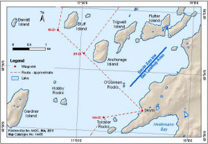
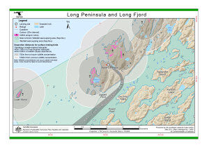
| 13892 | Long Peninsula and Long Fjord (Helicopter Operations) | 2011 | 1 : 43 500 |
 |
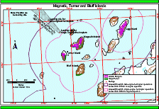
| 12562 | Magnetic, Turner and Bluff Islands (Helicopter Operations) | 2000 | 1 : 26 600 |
 |
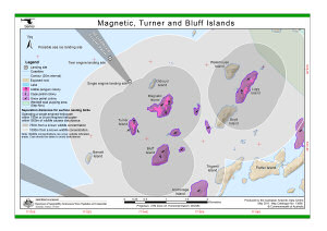
| 13890 | Magnetic, Turner and Bluff Islands (Helicopter Operations) | 2011 | 1 : 26 600 |
 |
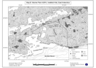
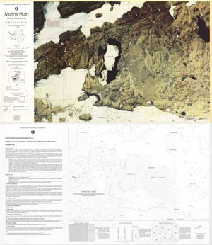
| 12968 | Marine Plain ASPA 143, Vestfold Hills, East Antarctica. Map B | 2002 | 1 : 85 100 |
 |
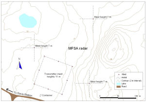
| 13204 | MFSA radar at Davis Station, Antarctica | 2005 | 1 : 1400 |
 |
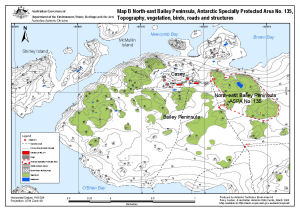
| 13512 | North-east Bailey Peninsula, Antarctic Specially Protected Area No. 135 : Topography, vegetation, birds, roads and structures (Map B) | 2008 | 1 : 12 000 |
 |
| 44 | Preliminary - Rauer Group / Princess Elizabeth Land | 1992 | 1 : 50 000 | |
| 45 | Preliminary - Rauer Group / Princess Elizabeth Land | 1992 | 1 : 50 000 | |
| 46 | Preliminary - Rauer Group / Princess Elizabeth Land | 1992 | 1 : 50 000 | |
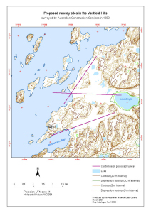
| 13436 | Proposed runway sites in the Vestfold Hills surveyed by Australian Construction Services in 1983 |
2007 | 1 : 37 000 |
 |
| 13437 | Proposed runway sites in the Vestfold Hills surveyed by Australian Construction Services in 1983 |
2007 | 1 : 37 000 |
 |
| 11 | Site of Special Scientific Interest No. 25 Marine Plain, Mule Peninsula, Vestfold Hills, Princess Elizabeth Land |
1993 | 1 : 10 000 |
 |
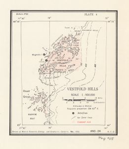
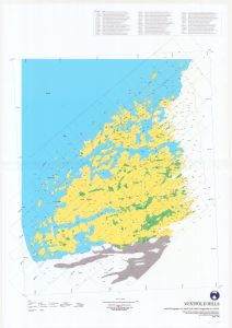
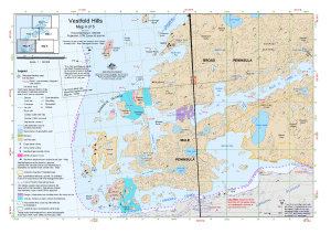
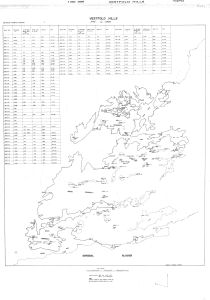
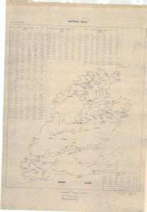
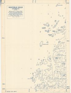
| 1764 | Vestfold Hills | 1973 | 1 : 50 000 | |
| 915 | Vestfold Hills | 1958 | 1 : 50 000 |
 |
| 1738 | Vestfold Hills | 1992 | 1 : 50 000 | |
| 1743 | Vestfold Hills | 1 : 20 000 | ||
| 2025 | Vestfold Hills | 1965 | 1 : 50 000 | |
| 2026 | Vestfold Hills | 1997 | 1 : 25 000 | |
| 2028 | Vestfold Hills | 1997 | 1 : 25 000 | |
| 12890 | Vestfold Hills | 2001 | 1 : 50 000 |
 |
| 14132 | Vestfold Hills | 1989 | 1 : 50 000 |
 |
| 14202 | Vestfold Hills | 2013 | 1 : 50 000 |
 |
| 49 | Vestfold Hills / Princess Elizabeth Land | 1982 | 1 : 50 000 |
 |
| 14042 | Vestfold Hills : Aerial photography for 1996/97 and aerial triangulation for 1994/95 | 1998 | 1 : 50 000 |
 |
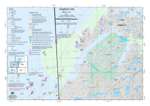
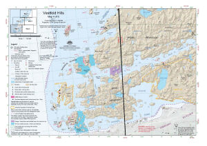
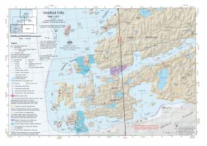
| 13980 | Vestfold Hills : Map 2 of 5 | 2012 | 1 : 50 000 |
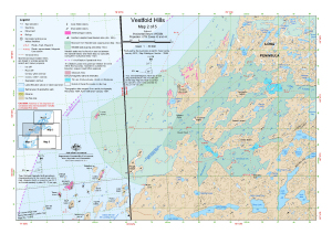 |
| 14591 | Vestfold Hills : Map 2 of 5 | 2017 | 1 : 50 000 |
 |
| 14516 | Vestfold Hills : Map 2 of 5 | 2016 | 1 : 50 000 |
 |
| 13152 | Vestfold Hills : Map 2 of 5 | 2005 | 1 : 50 000 |
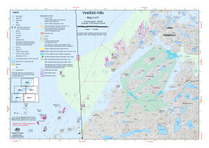 |
| 13094 | Vestfold Hills : Map 2 of 5 | 2004 | 1 : 50 000 |
 |
| 13483 | Vestfold Hills : Map 2 of 5 | 2008 | 1 : 50 000 |
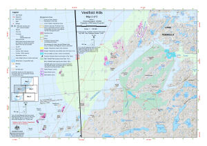 |
| 13293 | Vestfold Hills : Map 2 of 5 | 2006 | 1 : 50 000 |
 |
| 13418 | Vestfold Hills : Map 2 of 5 | 2007 | 1 : 50 000 |
 |
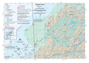
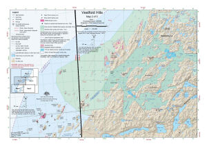
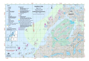
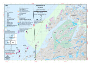
| 13420 | Vestfold Hills : Map 4 of 5 | 2007 | 1 : 50 000 |
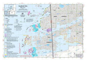 |
| 13294 | Vestfold Hills : Map 4 of 5 | 2006 | 1 : 50 000 |
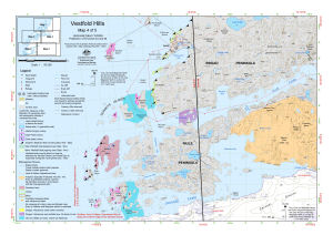 |
| 13485 | Vestfold Hills : Map 4 of 5 | 2008 | 1 : 50 000 |
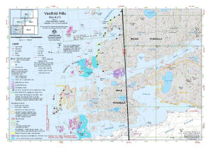 |
| 13096 | Vestfold Hills : Map 4 of 5 | 2004 | 1 : 50 000 |
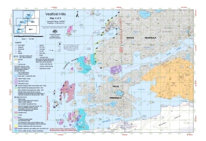 |
| 13149 | Vestfold Hills : Map 4 of 5 | 2005 | 1 : 50 000 |
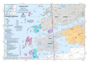 |
| 14518 | Vestfold Hills : Map 4 of 5 | 2016 | 1 : 50 000 |
 |
| 14593 | Vestfold Hills : Map 4 of 5 | 2017 | 1 : 50 000 |
 |
| 13982 | Vestfold Hills : Map 4 of 5 | 2012 | 1 : 50 000 |
 |
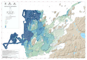
| 14278 | Vestfold Hills Bathymetry Map 1 |
2014 | 1 : 15 000 |
 |
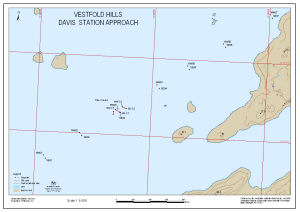
| 13559 | Vestfold Hills Davis Station approach | 2008 | 1 : 50 000 |
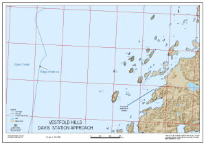 |
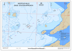
| 13560 | Vestfold Hills Davis Station approach : Map 2 of 6 | 2008 | 1 : 34 000 |
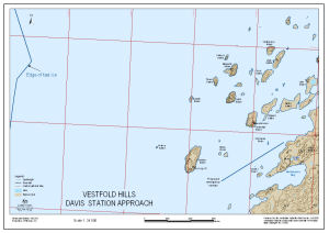 |
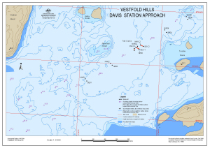
| 13561 | Vestfold Hills Davis Station approach : Map 3 of 6 | 2008 | 1 : 8500 |
 |
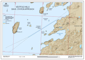
| 13562 | Vestfold Hills Davis Station approach : Map 4 of 6 | 2008 | 1 : 8500 |
 |
| 13563 | Vestfold Hills Davis Station approach : Map 5 of 6 | 2008 | 1 : 8500 |
 |
| 13564 | Vestfold Hills Davis Station approach : Map 6 of 6 | 2008 | 1 : 20 000 |
 |
| 14130 | Vestfold Hills Lake Levels 1979 to 1985 | 1985 | 1 : 50 000 |
 |
| 14131 | Vestfold Hills Lake Levels 1979 to 1988 | 1988 | 1 : 50 000 |
 |
| 14232 | Vestfold Hills Level Control Network 1979 (3 maps) | 1979 | 1 : c50 000 | |
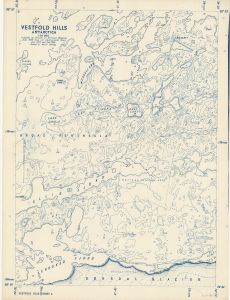
| 11065 | Vestfold Hills Topographic - 20m Contours. Black and white version | 1999 | 1 : 50 000 | |
| 11047 | Vestfold Hills Topographic - 5m Contours | 1999 | 1 : 50 000 |
 |
| 1753 | Vestfold Hills, Antarctica 1958 1:20,000 (Sheet 3) | 1958 | 1 : 20 000 |
 |
| 1754 | Vestfold Hills, Antarctica 1958 1:20,000 (Sheet 4) | 1958 | 1 : 20 000 |
 |
| 51 | Vestfold Hills, Princess Elizabeth Land | 1991 | 1 : 50 000 |
 |
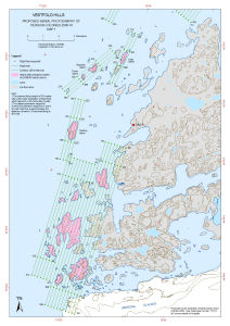
| 13718 | Vestfold Hills: Proposed Aerial Photography of Penguin Colonies 2009-10 Map 1 |
2009 | 1 : 50 000 |
 |
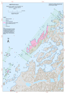
| 13719 | Vestfold Hills: Proposed Aerial Photography of Penguin Colonies 2009-10 Map 2 |
2009 | 1 : 50 000 |
 |
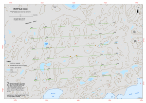
| 13873 | Vestfold Hills Proposed Scanning 2010-11 |
2010 | 1 : 15 000 |
 |
| 13105 | VHF radar at Davis Station, Antarctica | 2004 | 1 : 1230 |
 |