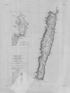
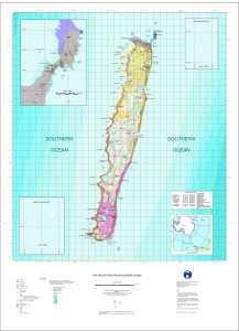
Antarctic Maps
Large scale maps covering scales below 1:100 000
-
that cover
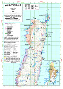
| 54° 29' 49.8" S to 54° 30' 03.4" S |
| 158° 55' 56.4" E to 158° 56' 34.6" E |
For additional maps, see the Mapping for the Map Catalogue.
Use the link on the Map No or the preview if it exists to see full details.
| Map No | Map Title | Year | Scale | Preview |
|---|---|---|---|---|
| 14471 | Annex B: Macquarie Island Spill Risk Assessment Map Land - Based Spills | 2002 | 1 : 1300 |
 |
| 14472 | Annex B: Macquarie Island Spill Risk Assessment Map Land - Based Spills | 2004 | 1 : 1300 |
 |
| 13705 | Annex B: Macquarie Island Spill Risk Assessment Map Land and Marine-Based Spills | 2008 | 1 : 1300 |
 |
| 14473 | Annex B: Macquarie Island Spill Risk Assessment Map Land and Marine-Based Spills |
2014 | 1 : 1300 |
 |
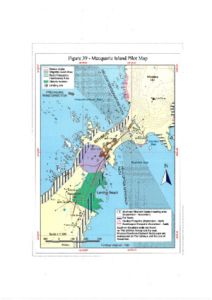
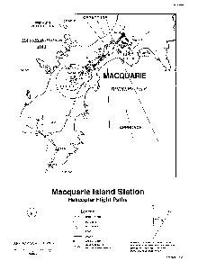
| 11525 | Figure 39 - Macquarie Island Pilot Map Helicopter Operations | 1999 | 1 : 7500 |
 |
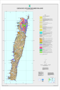
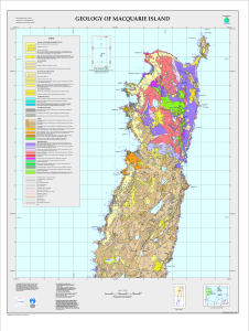
| 5122 | Geology of Macquarie Island | 1998 | 1 : 50 000 |
 |
| 5120 | Geology of Macquarie Island - North | 1998 | 1 : 25 000 |
 |
| 5113 | Geology of Macquarie Island - Sheet 1 | 1998 | 1 : 10 000 |
 |
| 12975 | GPS buoy deployment at Macquarie Island March 2003 | 2003 | 1 : 11 300 |
 |
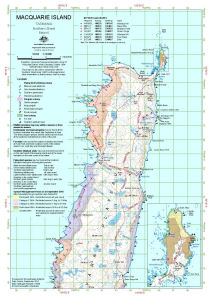
| 14081 | Macquarie Island | 1943 | 1 : 75 400 |
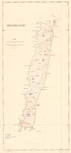 |
| 42 | Macquarie Island | 1971 | 1 : 50 000 |
 |
| 1648 | Macquarie Island | 1963 | 1 : 50 000 | |
| 1668 | Macquarie Island | 1 : 53 645 | ||
| 1672 | Macquarie Island | 1970 | 1 : 50 000 |
 |
| 3669 | Macquarie Island | 1991 | 1 : 50 000 | |
| 3670 | Macquarie Island | 1995 | 1 : 50 000 | |
| 13248 | Macquarie Island - Location of Levelling to Buildings | 2001 | 1 : 1460 |
 |
| 14133 | Macquarie Island - North | 1994 | 1 : 25 000 |
 |
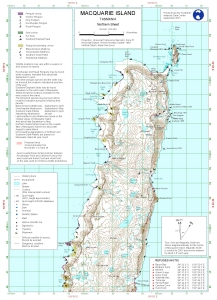
| 13539 | Macquarie Island (Northern Sheet) | 2012 | 1 : 50 000 |
 |
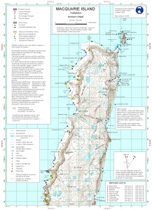
| 13061 | Macquarie Island (Northern Sheet) | 2004 | 1 : 50 000 |
 |
| 12744 | Macquarie Island (Northern Sheet) | 2001 | 1 : 50 000 |
 |
| 12756 | Macquarie Island (Northern Sheet) | 2002 | 1 : 50 000 |
 |
| 12885 | Macquarie Island (Northern Sheet) | 2002 | 1 : 50 000 |
 |
| 14446 | Macquarie Island (Northern Sheet) | 2015 | 1 : 50 000 |
 |
| 14224 | Macquarie Island (with inset of North End of Macquarie Island) | 1967 | 1 : 63 360 |
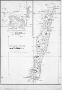 |
| 1626 | Macquarie Island (with inset of northern portion) | 1968 | 1 : 50 000 |
 |
| 14225 | Macquarie Island (with northern portion inset) | 1968 | 1 : 50 000 |
 |
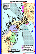
| 12585 | Macquarie Island approach paths (Helicopter Operations) | 2000 | 1 : c5300 |
 |
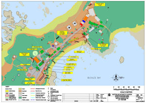
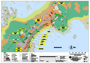
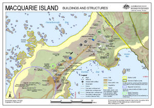
| 12444 | Macquarie Island Buildings and Structures | 2000 | 1 : 2500 |
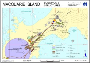 |
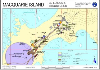
| 10085 | Macquarie Island Buildings and Structures | 1999 | 1 : 2500 |
 |
| 10446 | Macquarie Island Buildings and Structures | 1998 | 1 : 2000 |
 |
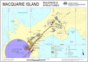
| 13056 | Macquarie Island Buildings and Structures | 2004 | 1 : 2500 |
 |
| 13444 | Macquarie Island Buildings and Structures | 2008 | 1 : 2500 |
 |
| 14498 | Macquarie Island Developmental Plan | 1965 | 1 : 300 |
 |
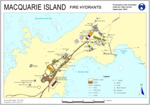
| 12400 | Macquarie Island Fire Hydrants | 2000 | 1 : 2600 |
 |
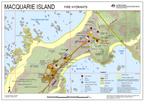
| 13565 | Macquarie Island Fire Hydrants (Superceded) | 2008 | 1 : 1700 |
 |
| 13145 | Macquarie Island Helicopter Exclusion Zone (Northern Sheet) | 2005 | 1 : 50 000 |
 |
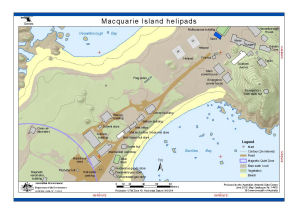
| 14470 | Macquarie Island helipads | 2015 | 1 : 1500 |
 |
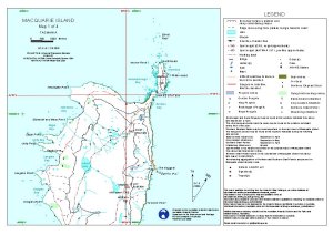
| 12052 | Macquarie Island Map 1 of 4 | 2000 | 1 : 50 000 |
 |
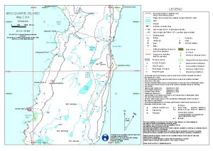
| 12053 | Macquarie Island Map 2 of 4 | 2000 | 1 : 50 000 |
 |
| 427 | Macquarie Island Plotsheet (Sheet 1 of 2) | 1982 | 1 : 50 000 |
 |
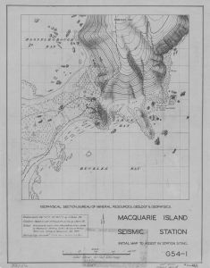
| 14222 | Macquarie Island Seismic Station | 1949 | 1 : 950 |
 |
| 11113 | Macquarie Island Station Area Map | 1999 | 1 : 2000 |
 |
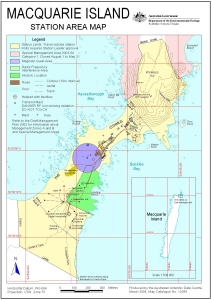
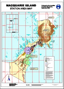
| 10105 | Macquarie Island Station Area Map | 1999 | 1 : 7500 |
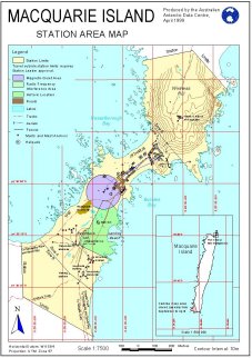 |
| 12445 | Macquarie Island Station Area Map | 2000 | 1 : 7500 |
 |
| 13055 | Macquarie Island Station Area Map | 2004 | 1 : 7500 |
 |
| 12710 | Macquarie Island Station Area Map | 2000 | 1 : 2000 |
 |
| 12324 | Macquarie Island Station Helicopter Flight Paths | 1996 | 1 : 5300 |
 |
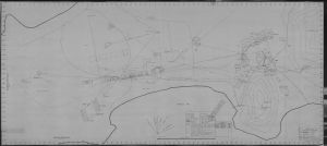
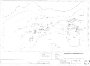
| 14559 | Macquarie Island Station Layout | 1970 | 1 : c200 |
 |
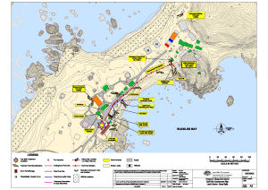
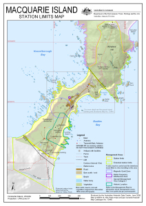
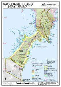
| 13445 | Macquarie Island Station Limits Map | 2008 | 1 : 7090 |
 |
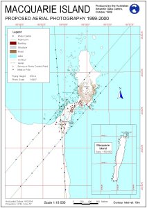
| 11485 | Macquarie Island Station proposed aerial photography 1999-2000 | 1999 | 1 : 18 000 |
 |
| 11425 | Macquarie Island survey and photo control and proposed aerial photography (all heights) 1999-2000 | 1999 | 1 : 50 000 |
 |
| 11426 | Macquarie Island survey and photo control and proposed aerial photography (height 1000 m) 1999-2000, | 1999 | 1 : 50 000 |
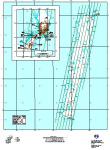 |
| 11427 | Macquarie Island survey and photo control and proposed aerial photography (height 1500 m) 1999-2000 | 1999 | 1 : 50 000 |
 |
| 11428 | Macquarie Island survey and photo control and proposed aerial photography (height 2000 m) 1999-2000 | 1999 | 1 : 50 000 |
 |
| 11445 | Macquarie Island survey and photo control and proposed aerial photography (height 2500 m) 1999-2000 | 1999 | 1 : 50 000 |
 |
| 11465 | Macquarie Island survey and photo control and proposed aerial photography (height 3000 m) 1999-2000 | 1999 | 1 : 50 000 |
 |
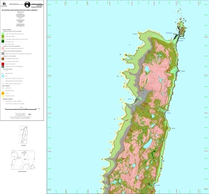
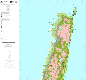
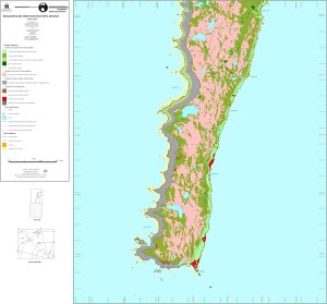
| 13106 | Macquarie Island vegetation | 2004 | 1 : 89 000 |
 |
| 12916 | Macquarie Island Vegetation, Structure & Drainage - Northern Sheet | 2001 | 1 : 25 000 |
 |
| 5123 | Macquarie Island Vegetation, Structure & Drainage - Northern Sheet | 1998 | 1 : 25 000 |
 |
| 5124 | Macquarie Island Vegetation, Structure & Drainage - South | 1998 | 1 : 25 000 |
 |
| 14336 | Macquarie Island, North Distribution of Structural Lineaments and Interpretations of Apparent Evidence of Glaciation |
1984 | 1 : c67 800 | |
| 12541 | Macquarie Island, Tasmania | 2000 | 1 : 50 000 |
 |
| 12707 | Macquarie Island, Tasmania | 2001 | 1 : 50 000 |
 |
| 12758 | Macquarie Island, Tasmania | 2002 | 1 : 50 000 |
 |
| 12884 | Macquarie Island, Tasmania | 2002 | 1 : 50 000 |
 |
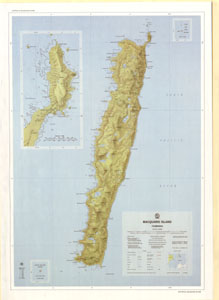
| 43 | Macquarie Island, Tasmania Interim Image Map |
1991 | 1 : 50 000 |
 |
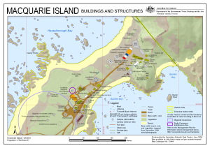
| 14331 | Macquarie Island: Buildings and Structures | 2014 | 1 : 2500 |
 |
| 14333 | Macquarie Island: Station Limits | 2014 | 1 : 7090 |
 |
| 14158 | Macquarie Island: Station Search Zones | 2012 | 1 : 3000 |
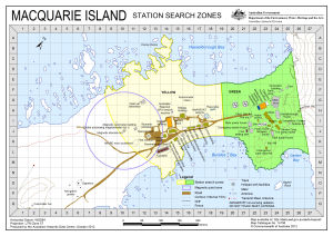 |
| 13804 | Macquarie Island: Station Search Zones | 2010 | 1 : 3000 |
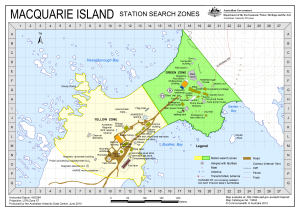 |
| 14455 | Macquarie Island: Station Search Zones | 2015 | 1 : 3000 |
 |
| 14083 | Macquarie Island Map annotated with locations of giant petrel rookeries January, February 1961 |
1 : 32 180 |
 |
|
| 14334 | Macquarie Island North Raised Terraces and Cobble Beach Deposits |
1984 | 1 : c67 800 | |
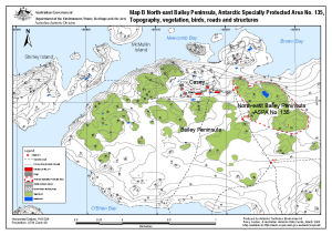
| 13512 | North-east Bailey Peninsula, Antarctic Specially Protected Area No. 135 : Topography, vegetation, birds, roads and structures (Map B) | 2008 | 1 : 12 000 |
 |
| 14164 | Plant formations of Macquarie Island | 1959 | 1 : 63 360 |
 |
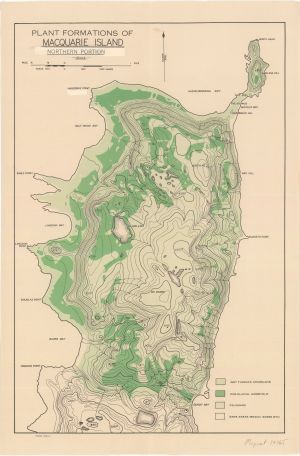
| 14165 | Plant formations of Macquarie Island : northern portion | 1959 | 1 : 22 000 |
 |
| 14175 | Sketch map of A.N.A.R.E. station area, Macquarie Island | 1950 | 1 : 2400 |
 |
| 14274 | Sketch Map of Macquarie Island North End Isthmus | 1949 | 1 : 2200 |
 |
| 14216 | The Isthmus at Macquarie Island with a Macquarie Island inset and an inset showing the location of Macquarie Island in relation to Australia and New Zealand [Black and white] |
2013 | 1 : 18 500 |
 |
| 12713 | VHF Reception on Macquarie Island | 2001 | 1 : 50 000 |
 |