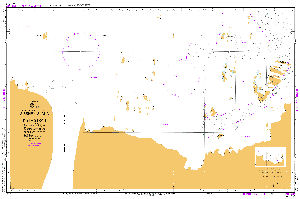
Antarctic Maps
Large scale maps covering scales below 1:100 000
-
that cover
| 65° 00' 00.0" S to 72° 00' 00.0" S |
| 37° 00' 00.0" E to 65° 00' 00.0" E |
For additional maps, see the Mapping for the Map Catalogue.
Use the link on the Map No or the preview if it exists to see full details.
| Map No | Map Title | Year | Scale | Preview |
|---|---|---|---|---|
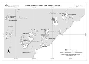
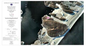
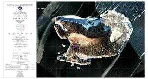
| 13043 | Adelie penguin colonies near Mawson Station | 2003 | 1 : 58 000 |
 |
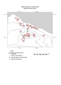
| 13042 | Adelie penguin subcolonies, Bechervaise Island | 2003 | 1 : 2000 |
 |
| 2252 | Akarui Point - The Eastern Part | 1982 | 1 : 25 000 | |
| 2251 | Akarui Point - The Western Part | 1982 | 1 : 25 000 | |
| 2250 | Akebono Glacier | 1983 | 1 : 25 000 | |
| 2249 | Akebono Rock | 1983 | 1 : 25 000 | |
| 5445 | Alasheyev Bight (7 sheets) | 1969 | 1 : 10 000 | |
| 2976 | Alasheyev Bight sheet 1 | 1972 | 1 : 10 000 | |
| 2977 | Alasheyev Bight sheet 2 | 1972 | 1 : 10 000 | |
| 2978 | Alasheyev Bight sheet 3 | 1972 | 1 : 10 000 | |
| 2979 | Alasheyev Bight sheet 4 | 1972 | 1 : 10 000 | |
| 2980 | Alasheyev Bight sheet 5 | 1972 | 1 : 10 000 | |
| 2981 | Alasheyev Bight sheet 6 | 1972 | 1 : 10 000 | |
| 2982 | Alasheyev Bight sheet 7 | 1972 | 1 : 10 000 | |
| 14452 | Annex B: Mawson Station Spill Risk Assessment Map Land - Based Spills |
2002 | 1 : 1000 |
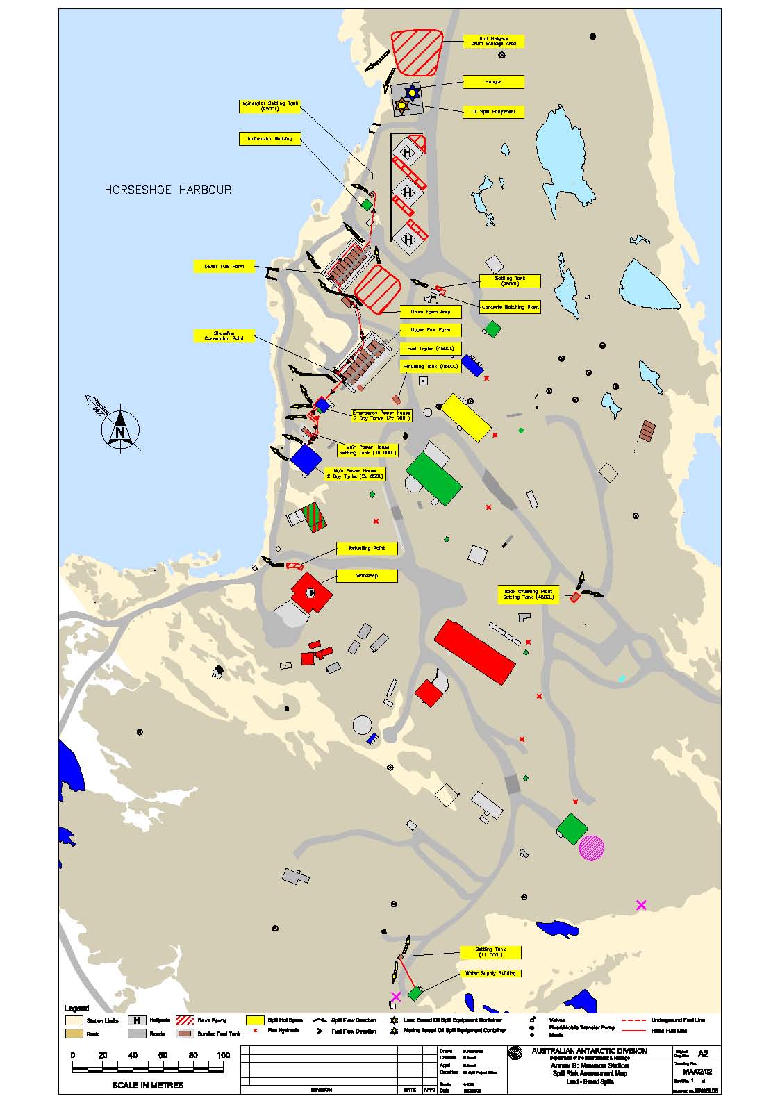 |
| 14453 | Annex B: Mawson Station Spill Risk Assessment Map Land - Based Spills |
2004 | 1 : 1000 |
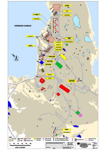 |
| 14454 | Annex B: Mawson Station Spill Risk Assessment Map Land and Marine-Based Spills |
2014 | 1 : 1000 |
 |
| 13704 | Annex B: Mawson Station Spill Risk Assessment Map Land and Marine-Based Spills |
2008 | 1 : 1000 |
 |
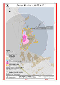
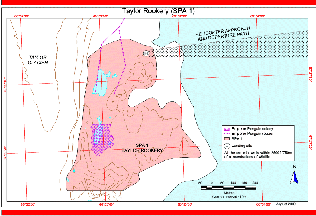
| 13709 | Antarctic Specially Protected Area No. 101 Taylor Rookery Map B: Topography and Emperor Penguin Colony |
2010 | 1 : 5000 |
 |
| 14338 | Antarctic Specially Protected Area No. 101 Taylor Rookery Map B: Topography and Emperor Penguin Colony |
2015 | 1 : 5000 |
 |
| 14339 | Antarctic Specially Protected Area No. 101 Taylor Rookery Map C: Helicopter Approach and Landing site |
2015 | 1 : 7500 |
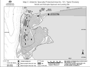 |
| 13710 | Antarctic Specially Protected Area No. 101 Taylor Rookery Map C: Helicopter Approach and Landing site |
2010 | 1 : 7500 |
 |
| 14351 | Antarctic Specially Protected Area No. 101 Taylor Rookery Map D: ASPA boundary points |
2015 | 1 : 7500 |
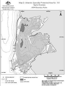 |
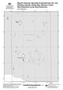
| 14355 | Antarctic Specially Protected Area No. 102 Rookery Islands Map B : Bird Distribution |
2015 | 1 : 57 000 |
 |
| 13714 | Antarctic Specially Protected Area No. 102 Rookery Islands Map B : Bird Distribution |
2010 | 1 : 36 000 |
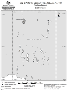 |
| 14601 | AUS 600 Approaches to Mawson | 2016 | 1 : 25 000 |
 |
| 2248 | Austhovde | 1985 | 1 : 25 000 | |
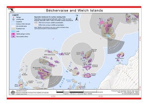
| 12581 | Bechervaise and Welch Islands (Helicopter Operations) | 2000 | 1 : 36 500 |
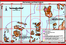 |
| 13904 | Béchervaise and Welch Islands (Helicopter Operations) | 2011 | 1 : 37 500 |
 |
| 12727 | Bechervaise Island [Penguin Colonies : Topographical map] | 2000 | 1 : 6500 |
 |
| 12724 | Bechervaise Island Penguin Colonies : Orthophoto map | 2000 | 1 : 5000 |
 |
| 12721 | Bechervaise Island topographical map | 2000 | 1 : 10 000 |
 |
| 5290 | Berge der Deutsch-Sowjetischen Freundschaft | 1975 | 1 : 10 000 | |
| 2253 | Berrodden | 1984 | 1 : 25 000 | |
| 2247 | Cape Hinode | 1975 | 1 : 25 000 | |
| 2235 | Cape Hinode - The Principal Part | 1983 | 1 : 25 000 | |
| 2234 | Cape Hinode - The Southern Part | 1982 | 1 : 25 000 | |
| 2232 | Cape Omega | 1981 | 1 : 25 000 | |
| 2233 | Cape Ryugu | 1981 | 1 : 25 000 | |
| 12772 | Cape Ryugu: The Principal Part | 1983 | 1 : 25 000 | |
| 2231 | Daruma Rock | 1982 | 1 : 25 000 | |
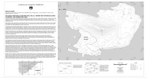
| 12920 | Draft - Framnes Mountains, MacRobertson Land, Antarctica. Sheet 1 | 2002 | 1 : 50 000 |
 |
| 12918 | Draft - Framnes Mountains, MacRobertson Land, Antarctica. Sheet 2 | 2002 | 1 : 50 000 |
 |
| 12919 | Draft - Framnes Mountains, MacRobertson Land, Antarctica. Sheet 3 | 2002 | 1 : 50 000 |
 |
| 2368 | East of Mt Tyoto (Langhovde) | 1996 | 1 : 2500 | |
| 2223 | East Ongul Island | 1957 | 1 : 5000 |
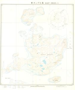 |
| 2219 | East Ongul Island | 1994 | 1 : 5000 | |
| 2225 | East Ongul Island / Reconnaissance Landform Map | 1957 | 1 : 10 000 | |
| 2207 | East Teoya | 1994 | 1 : 2500 | |
| 12854 | Eastern Part of Hamnenabben (Langhovde) | 1999 | 1 : 2500 | |
| 5303 | Eastern Part of Ongul | 1970 | 1 : 10 000 | |
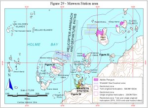
| 11393 | Figure 29 - Mawson Station area Helicopter Operations | 1999 | 1 : 75 000 |
 |
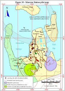
| 11394 | Figure 30 - Mawson Station pilot map Helicopter Operations | 1999 | 1 : 7500 |
 |
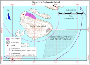
| 11395 | Figure 31 - B¿chervaise Island Helicopter Operations | 1999 | 1 : 20 000 |
 |
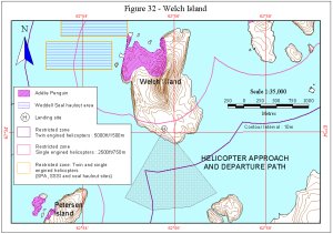
| 11396 | Figure 32 - Welch Island Helicopter Operations | 1999 | 1 : 35 000 |
 |
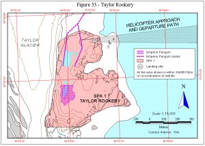
| 11397 | Figure 33 - Taylor Rookery Helicopter Operations | 1999 | 1 : 10 000 |
 |
| 2228 | Flattunga | 1986 | 1 : 25 000 | |
| 2229 | Flattunga - The Southern Part | 1986 | 1 : 25 000 | |
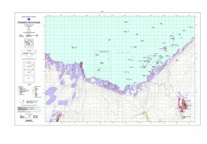
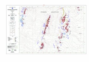
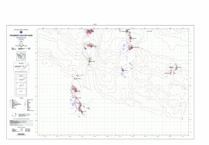
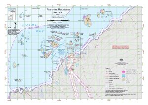
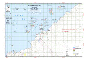
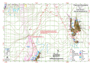
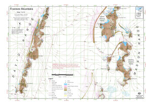
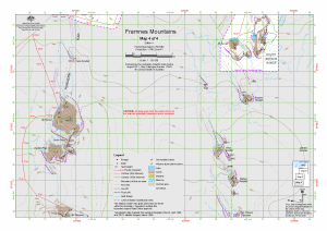
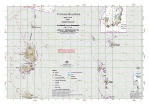
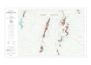
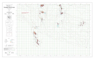
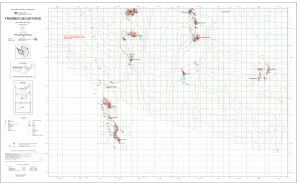
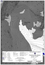
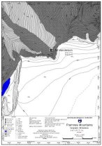
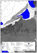
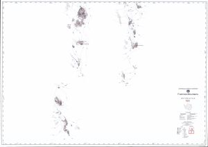
| 14623 | Framnes Mountains : Map 1 of 4 | 2017 | 1 : 50 000 |
 |
| 13182 | Framnes Mountains : Map 1 of 4 | 2005 | 1 : 50 000 |
 |
| 13490 | Framnes Mountains : Map 1 of 4 | 2008 | 1 : 50 000 |
 |
| 13657 | Framnes Mountains : Map 1 of 4 | 2009 | 1 : 50 000 |
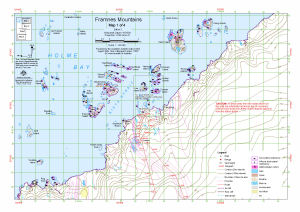 |
| 13940 | Framnes Mountains : Map 1 of 4 | 2011 | 1 : 50 000 |
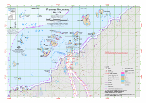 |
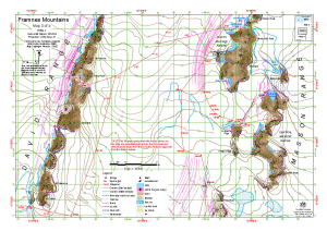
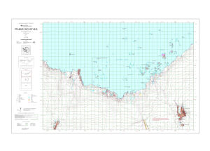
| 13941 | Framnes Mountains : Map 2 of 4 | 2011 | 1 : 50 000 |
 |
| 13658 | Framnes Mountains : Map 2 of 4 | 2009 | 1 : 50 000 |
 |
| 13491 | Framnes Mountains : Map 2 of 4 | 2008 | 1 : 50 000 |
 |
| 13183 | Framnes Mountains : Map 2 of 4 | 2005 | 1 : 50 000 |
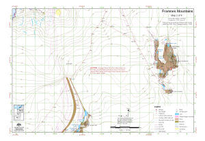 |
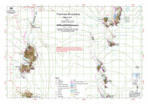
| 14624 | Framnes Mountains : Map 2 of 4 | 2017 | 1 : 50 000 |
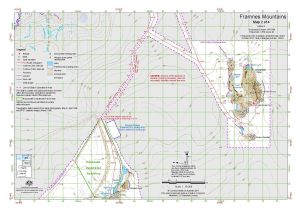 |
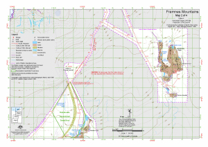
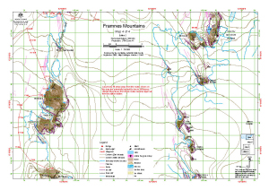
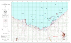
| 14625 | Framnes Mountains : Map 3 of 4 | 2017 | 1 : 50 000 |
 |
| 13184 | Framnes Mountains : Map 3 of 4 | 2005 | 1 : 50 000 |
 |
| 13492 | Framnes Mountains : Map 3 of 4 | 2008 | 1 : 50 000 |
 |
| 13659 | Framnes Mountains : Map 3 of 4 | 2009 | 1 : 50 000 |
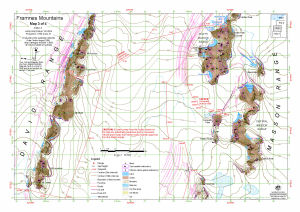 |
| 13942 | Framnes Mountains : Map 3 of 4 | 2011 | 1 : 50 000 |
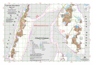 |
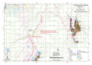
| 13943 | Framnes Mountains : Map 4 of 4 | 2011 | 1 : 50 000 |
 |
| 13660 | Framnes Mountains : Map 4 of 4 | 2009 | 1 : 50 000 |
 |
| 13493 | Framnes Mountains : Map 4 of 4 | 2008 | 1 : 50 000 |
 |
| 13185 | Framnes Mountains : Map 4 of 4 | 2005 | 1 : 50 000 |
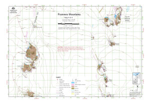 |
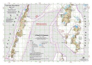
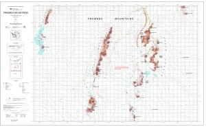
| 14626 | Framnes Mountains : Map 4 of 4 | 2017 | 1 : 50 000 |
 |
| 13191 | Framnes Mountains, MacRobertson Land, Antarctica. Sheet 1 | 2005 | 1 : 50 000 |
 |
| 13107 | Framnes Mountains, MacRobertson Land, Antarctica. Sheet 1 | 2004 | 1 : 50 000 |
 |
| 13108 | Framnes Mountains, MacRobertson Land, Antarctica. Sheet 2 | 2004 | 1 : 50 000 |
 |
| 13192 | Framnes Mountains, MacRobertson Land, Antarctica. Sheet 2 | 2005 | 1 : 50 000 |
 |
| 13193 | Framnes Mountains, MacRobertson Land, Antarctica. Sheet 3 | 2005 | 1 : 50 000 |
 |
| 13109 | Framnes Mountains, MacRobertson Land, Antarctica. Sheet 3 | 2004 | 1 : 50 000 |
 |
| 8206 | Geological chart of Mawson Base area | 1966 | 1 : 10 000 | |
| 2394 | Geological map of Akarui Point and Naga-Iwa Rock | 1984 | 1 : 25 000 | |
| 2390 | Geological map of Akebono Rock | 1986 | 1 : 25 000 | |
| 5335 | Geological map of Botnneset | 1987 | 1 : 50 000 | |
| 2385 | Geological map of Cape Hinode | 1978 | 1 : 25 000 | |
| 2395 | Geological map of Cape Omega | 1979 | 1 : 25 000 | |
| 2389 | Geological map of Cape Ryugu | 1980 | 1 : 25 000 | |
| 5327 | Geological map of East Ongul Island | 1974 | 1 : 5000 | |
| 2397 | Geological map of Honnor Oku-Iwa Rock | 1987 | 1 : 25 000 | |
| 2392 | Geological map of Kasumi Rock | 1984 | 1 : 25 000 | |
| 2382 | Geological map of Kjuka and Telen | 1979 | 1 : 25 000 | |
| 5334 | Geological map of Langhovde | 1976 | 1 : 25 000 | |
| 12782 | Geological map of Mount Riiser-Larsen | 2000 | 1 : 12 500 | |
| 2391 | Geological map of Niban Rock | 1983 | 1 : 25 000 | |
| 2396 | Geological map of Oku-Iwa Rock | 1981 | 1 : 25 000 | |
| 12848 | Geological map of Ongul Islands | 1994 | 1 : 10 000 | |
| 5330 | Geological map of Ongulkalven Island | 1975 | 1 : 5000 | |
| 2384 | Geological map of Padda Island | 1977 | 1 : 25 000 | |
| 2398 | Geological map of Rundvagskollane and Rundvagshetta | 1986 | 1 : 25 000 | |
| 2388 | Geological map of Sinnan Rocks | 1983 | 1 : 25 000 | |
| 2383 | Geological map of Skallen | 1976 | 1 : 25 000 | |
| 14009 | Geological map of Skallen | 2004 | 1 : 10 000 | |
| 2380 | Geological map of Skarvsnes | 1977 | 1 : 25 000 | |
| 5331 | Geological map of Strandnibba | 1985 | 1 : 25 000 | |
| 2393 | Geological map of Tenmondai Rock | 1985 | 1 : 25 000 | |
| 5329 | Geological map of Teoya | 1975 | 1 : 5000 | |
| 12780 | Geological map of Tonagh Island | 2001 | 1 : 10 000 | |
| 5328 | Geological map of West Ongul Island | 1974 | 1 : 5000 | |
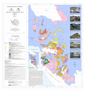
| 13521 | Geology of the Stillwell Hills | 2012 | 1 : 25 000 |
 |
| 8457 | Geomorphological map of East Ongul and West Ongul Islands | 1999 | 1 : 10 000 | |
| 5324 | Geomorphological map of Langhovde | 1984 | 1 : 25 000 | |
| 13990 | Gibbney Island to Kista Strait | 2011 | 1 : 25 000 |
 |
| 2230 | Gobanme Rock | 1982 | 1 : 25 000 | |
| 12853 | Hamna Icefall (Langhovde) | 1999 | 1 : 2500 | |
| 2226 | Hazuki Glacier | 1987 | 1 : 25 000 | |
| 12858 | Honnor Oku-Iwa (Rock) | 2001 | 1 : 10 000 | |
| 2244 | Honnor Oku-Iwa Rock | 1984 | 1 : 25 000 | |
| 2355 | Hukuro Cove | 1996 | 1 : 2500 | |
| 2372 | Hukuro Cove (Langhovde) | 1996 | 1 : 2500 | |
| 8459 | II. Distribution of raised beach deposits and localities of radiocarbon dating age of marine fossils at four major areas- A. Ongul Island | 1998 | 1 : 20 000 | |
| 8460 | II. Distribution of raised beach deposits and localities of radiocarbon dating age of marine fossils at four major areas- B. Langhovde | 1998 | 1 : 50 000 | |
| 8461 | II. Distribution of raised beach deposits and localities of radiocarbon dating age of marine fossils at four major areas- C. Skarvsnes | 1998 | 1 : 50 000 | |
| 8462 | II. Distribution of raised beach deposits and localities of radiocarbon dating age of marine fossils at four major areas- D. Skallevikhalsen | 1998 | 1 : 50 000 | |
| 2246 | Innhovde | 1985 | 1 : 25 000 | |
| 2210 | Iwa-Zima Island | 1994 | 1 : 2500 | |
| 2240 | Kabuto Rock | 1983 | 1 : 25 000 | |
| 12859 | Kami-Kama (Langhovde) | 1999 | 1 : 2500 | |
| 2239 | Kani Rock | 1983 | 1 : 25 000 | |
| 2241 | Kasumi Glacier | 1982 | 1 : 25 000 | |
| 2242 | Kasumi Rock | 1982 | 1 : 25 000 | |
| 2245 | Kjuka and Telen | 1975 | 1 : 25 000 | |
| 2198 | Ko-Minato Inlet | 1994 | 1 : 2500 | |
| 2199 | Ko-Minato Inlet (East) | 1994 | 1 : 2500 | |
| 2216 | Kurumi Island | 1994 | 1 : 2500 | |
| 2365 | Lake Akebi (Langhovde) | 1996 | 1 : 2500 | |
| 12860 | Lake Higasi-Hamna (Langhovde) | 1999 | 1 : 2500 | |
| 2205 | Lake itiziku | 1994 | 1 : 2500 | |
| 2196 | Lake Zakuro | 1994 | 1 : 2500 | |
| 2243 | Lang Hovde | 1968 | 1 : 25 000 | |
| 2237 | Langhovde - The Northern Part | 1987 | 1 : 25 000 | |
| 2236 | Langhovde - The Southern Part | 1987 | 1 : 25 000 | |
| 12861 | Langhovde: The Southeastern Part | 2000 | 1 : 2500 | |
| 12862 | Langhovde: The Southwestern Part | 2000 | 1 : 10 000 | |
| 11107 | Locality map for the Fang Peak refuge, Framnes Mountains | 1999 | 1 : 5000 |
 |
| 11108 | Locality map for the Mt Henderson refuge, Framnes Mountains | 1999 | 1 : 5000 |
 |
| 11109 | Locality map for the Rumdoodle refuge, Framnes Mountains | 1999 | 1 : 5000 |
 |
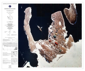
| 13988 | Mawson : Local Area | 2011 | 1 : 27 000 |
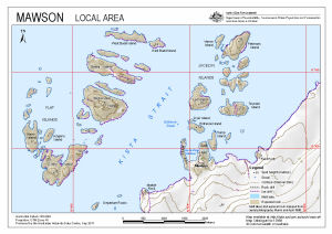 |
| 12575 | Mawson approach paths (Helicopter Operations) | 2000 | 1 : 62 500 |
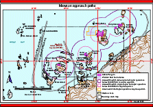 |
| 13773 | Mawson Data, Mawson Antarctica Sheet 2 of 2 | 1996 | 1 : 1000 |
 |
| 13772 | Mawson Data, Mawson Antarctica Sheet 1 of 2 | 1996 | 1 : 1000 |
 |
| 13903 | Mawson final helicopter approach (Helicopter Operations) | 2011 | 1 : 5600 |
 |
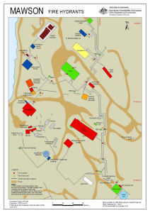
| 14218 | Mawson Fire Hydrants (Superceded) | 2013 | 1 : 1000 |
 |
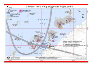
| 14308 | Mawson fixed wing suggested flight paths | 2014 | 1 : 70 000 |
 |
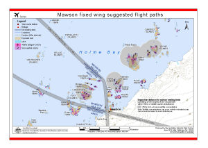
| 13932 | Mawson fixed wing suggested flight paths | 2012 | 1 : 70 000 |
 |
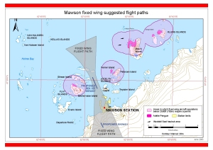
| 13027 | Mawson fixed wing suggested flight paths | 2003 | 1 : 58 000 |
 |
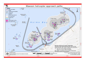
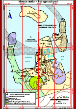
| 13902 | Mawson helicopter approach paths (Helicopter Operations) | 2011 | 1 : 70 000 |
 |
| 5155 | Mawson Local Area Map | 1992 | 1 : 10 000 |
 |
| 5156 | Mawson Local Area Map | 1994 | 1 : 10 000 |
 |
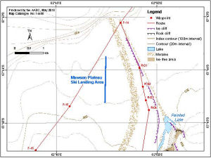
| 14466 | Mawson Plateau Ski Landing Area | 2015 | 1 : 50 000 |
 |
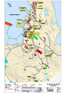
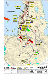
| 910 | Mawson Rock [Horseshoe Habour] | 1957 | 1 : c2400 | |
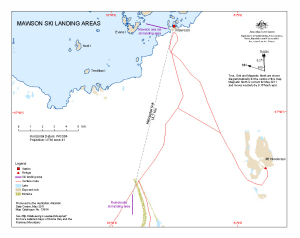
| 13954 | Mawson Ski Landing Areas | 2011 | 1 : 95 000 |
 |
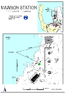
| 1597 | Mawson Station | 1980 | 1 : 1000 |
 |
| 12576 | Mawson station - final approach path (Helicopter Operations) | 2000 | 1 : 5700 |
 |
| 12925 | Mawson Station Area : Orthophoto map | 2003 | 1 : 1500 |
 |
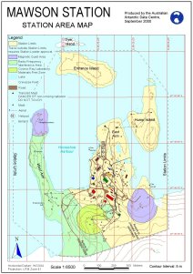
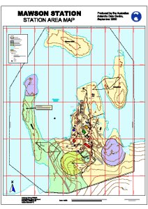
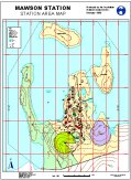
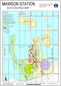
| 13057 | Mawson Station Area Map | 2004 | 1 : 6500 |
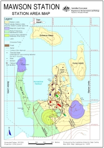 |
| 12443 | Mawson Station Area Map | 2000 | 1 : 6500 |
 |
| 12711 | Mawson Station Area Map | 2000 | 1 : 1500 |
 |
| 11111 | Mawson Station Area Map | 1999 | 1 : 1500 |
 |
| 12261 | Mawson Station Area Map | 1998 | 1 : 6500 |
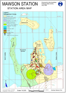 |
| 10165 | Mawson Station Area Map | 1999 | 1 : 6500 |
 |
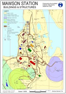
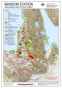
| 10166 | Mawson Station Buildings and Structures | 1999 | 1 : 3000 |
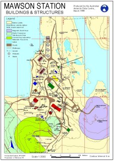 |
| 12243 | Mawson Station Buildings and Structures | 1998 | 1 : 3000 |
 |
| 10447 | Mawson Station Buildings and Structures | 1998 | 1 : 2500 |
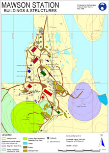 |
| 12442 | Mawson Station Buildings and Structures | 2000 | 1 : 3000 |
 |
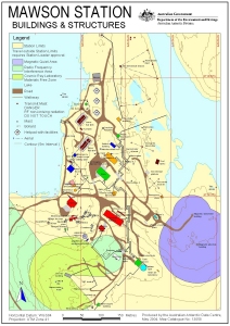
| 13058 | Mawson Station Buildings and Structures | 2004 | 1 : 3000 |
 |
| 13247 | Mawson Station Buildings and Structures: without Management Zones | 2006 | 1 : 3000 |
 |
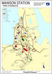
| 12422 | Mawson Station Fire Hydrants | 2000 | 1 : 3125 |
 |
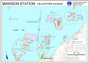
| 10326 | Mawson Station Helicopter Access | 1998 | 1 : 45 000 |
 |
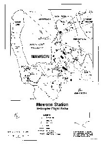
| 12323 | Mawson Station Helicopter Flight Paths | 1996 | 1 : 5000 |
 |
| 13132 | Mawson Station local area map | 1992 | 1 : 10 000 |
 |
| 13133 | Mawson Station Local Area Map | 1994 | 1 : 25 000 |
 |
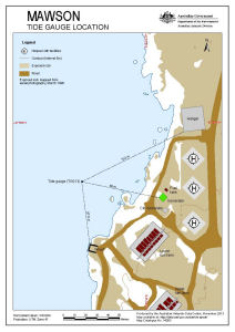
| 12300 | Mawson Station Tide Gauge Location | 1997 | 1 : c950 |
 |
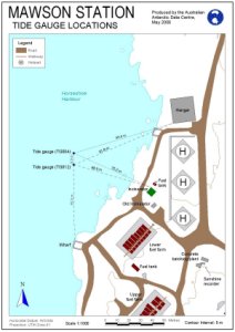
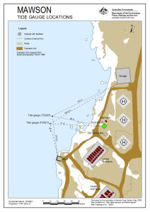
| 12262 | Mawson Station Tide Gauge Locations | 2000 | 1 : 1000 |
 |
| 12700 | Mawson Station, Mawson Data, Antarctica | 1996 | 1 : 1000 |
 |
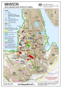
| 13389 | Mawson Station: Buildings and Structures | 2007 | 1 : 3000 |
 |
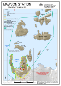
| 13391 | Mawson Station: Recreation Limits | 2007 | 1 : 11 500 |
 |
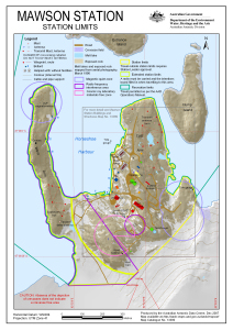
| 13390 | Mawson Station: Station Limits | 2007 | 1 : 5500 |
 |
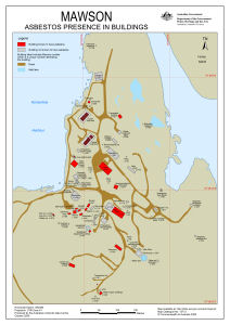
| 13712 | Mawson: Asbestos presence in buildings | 2009 | 1 : 2119 |
 |
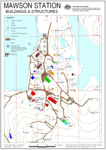
| 14456 | Mawson: Buildings and Structures | 2016 | 1 : 3000 |
 |
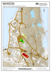
| 14490 | Mawson: Critical safety map for non-English speaking visitors | 2015 | 1 : c2400 |
 |
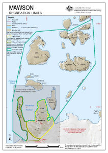
| 14510 | Mawson: Recreation Limits | 2016 | 1 : 11 500 |
 |
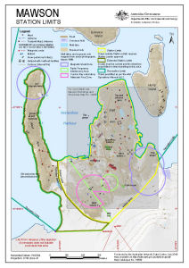
| 14509 | Mawson: Station Limits | 2016 | 1 : 5500 |
 |
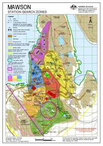
| 13792 | Mawson: Station Search Zones | 2010 | 1 : 3000 |
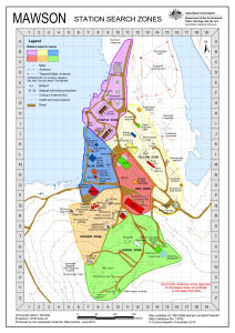 |
| 13522 | Mawson: Station Search Zones | 2008 | 1 : 3000 |
 |
| 14263 | Mawson: Tide Gauge Location | 2013 | 1 : 1000 |
 |
| 13639 | Mawson: Tide Gauge Locations | 2009 | 1 : 1000 |
 |
| 2215 | Mendori Island | 1994 | 1 : 2500 | |
| 2212 | Miharasi Peak | 1994 | 1 : 2500 | |
| 2359 | Miharasi Peak | 1996 | 1 : 2500 | |
| 2362 | Miharasi Peak-East Ongul Island | 1996 | 1 : 2500 | |
| 2261 | Mitu-Iwa Rock | 1986 | 1 : 25 000 | |
| 2370 | Mizukuguri Cove (Langhovde) | 1996 | 1 : 2500 | |
| 2971 | Molodezhnaya | 1972 | 1 : 50 000 |
 |
| 5447 | Molodezhnaya | 1970 | 1 : 50 000 | |
| 12865 | Mount Heito (Langhovde) | 1999 | 1 : 2500 | |
| 12864 | Mount Minami-heito (Langhovde) | 1999 | 1 : 2500 | |
| 2371 | Mt. Hutago (Langhovde) | 1996 | 1 : 2500 | |
| 2369 | Mt. Tyoto (Langhovde) | 1996 | 1 : 2500 | |
| 12866 | Nabboya (Langhovde) | 2000 | 1 : 2500 | |
| 2268 | Naga-Iwa Rock | 1982 | 1 : 25 000 | |
| 2274 | Nesbrekka | 1985 | 1 : 25 000 | |
| 2217 | Nesoya | 1994 | 1 : 2500 | |
| 2275 | Niban Rock | 1982 | 1 : 25 000 | |
| 2367 | North of Mt Hutago (Langhovde) | 1996 | 1 : 2500 | |
| 2208 | North Teoya (Eastern part) | 1994 | 1 : 2500 | |
| 2206 | North Teoya (Western part) | 1994 | 1 : 2500 | |
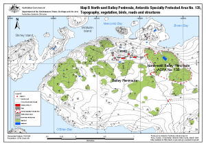
| 13512 | North-east Bailey Peninsula, Antarctic Specially Protected Area No. 135 : Topography, vegetation, birds, roads and structures (Map B) | 2008 | 1 : 12 000 |
 |
| 12857 | Northern Part of Hamnenabben (Langhovde) | 1999 | 1 : 2500 | |
| 12867 | Northern Part of Revsnesoya (Langhovde) | 2000 | 1 : 2500 | |
| 2262 | Oku-Iwa Glacier | 1986 | 1 : 25 000 | |
| 2265 | Oku-Iwa Rock | 1981 | 1 : 25 000 | |
| 8165 | Ongul Island | 1994 | 1 : 10 000 | |
| 2267 | Ongul Islands | 1981 | 1 : 25 000 | |
| 2356 | Ongul Islands | 1996 | 1 : 10 000 | |
| 2264 | Ongul Islands-The Northern Part | 1986 | 1 : 25 000 | |
| 2263 | Ongul Islands-The Western Part | 1987 | 1 : 25 000 | |
| 2221 | Ongul Kalven Island | 1966 | 1 : 5000 | |
| 2197 | Ongulgalten | 1994 | 1 : 2500 | |
| 2211 | Ongulkalven | 1994 | 1 : 2500 | |
| 12868 | Oyayubi Point (Langhovde) | 2000 | 1 : 2500 | |
| 8141 | Padda Island | 1977 | 1 : 25 000 | |
| 2266 | Padda Island | 1966 | 1 : 25 000 | |
| 2218 | Pollholmen | 1994 | 1 : 2500 | |
| 2363 | Pollholmen | 1996 | 1 : 2500 | |
| 5102 | Preliminary - Framnes Mountains - Sheet 2 | 1998 | 1 : 50 000 |
 |
| 14057 | Preliminary - Mawson Station Local Area Map | 1993 | 1 : 25 000 |
 |
| 5198 | Puertos en el Territorio Antartico Chileno: Bahia Neny | 1969 | 1 : 20 000 | |
| 2272 | Rakuda Rock | 1983 | 1 : 25 000 | |
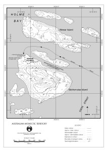
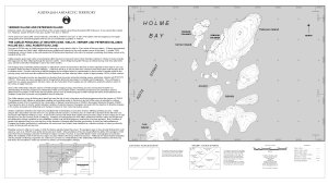
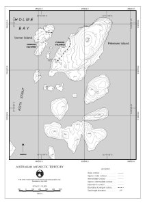
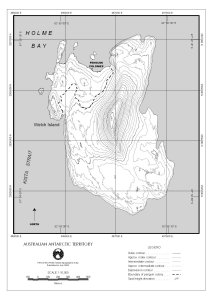
| 12739 | Rookery Islands | 2001 | 1 : 40 000 |
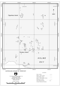 |
| 12738 | Rookery Islands (SPA 2) | 2001 | 1 : 20 000 |
 |
| 13169 | Rookery Islands, Holme Bay, Mawson Coast. Map B : Antarctic Specially Protected Area no. 102. Bird distribution | 2006 | 1 : 36 000 |
 |
| 2276 | Rumpa | 1987 | 1 : 25 000 | |
| 8155 | Rundv?gskollane and Rundv?gshetta | 1986 | 1 : 25 000 | |
| 2271 | Rundvagshetta | 1984 | 1 : 25 000 | |
| 2270 | Rundvagshetta-The Southern Part | 1984 | 1 : 25 000 | |
| 2273 | Ryugu-Nisi Point | 1983 | 1 : 25 000 | |
| 2289 | Sata and Kista | 1985 | 1 : 25 000 | |
| 8145 | Shinnan Rocks | 1983 | 1 : 25 000 | |
| 12869 | Simo-Kama (Langhovde) | 1999 | 1 : 2500 | |
| 2279 | Sinnan Rocks | 1977 | 1 : 25 000 | |
| 5342 | Sinnan Rocks: The Northern Part | 1983 | 1 : 25 000 | |
| 2280 | Sinnan Rocks-The Principal Park | 1983 | 1 : 25 000 | |
| 2287 | Skallen | 1973 | 1 : 25 000 | |
| 2282 | Skallevikhalsen | 1987 | 1 : 25 000 | |
| 2277 | Skarvsnes | 1974 | 1 : 25 000 | |
| 12870 | Skarvsnes: The Southwestern Part | 2001 | 1 : 10 000 | |
| 2278 | Skarvsnes-The Principal Part | 1987 | 1 : 25 000 | |
| 12871 | South of Mount Minami-heito (Langhovde) | 1999 | 1 : 2500 | |
| 12872 | South of Oyayubi Point | 2000 | 1 : 2500 | |
| 12873 | Southeastern Part of Oyayubi Island (Langhovde) | 2000 | 1 : 2500 | |
| 12855 | Southern Part of Hamnenabben (Langhovde) | 1999 | 1 : 2500 | |
| 12874 | Southern Part of Revsnesoya | 2000 | 1 : 2500 | |
| 2290 | Strandnibba | 1984 | 1 : 25 000 | |
| 2288 | Sudare Rock | 1984 | 1 : 25 000 | |
| 2358 | Syowa Flat | 1996 | 1 : 2500 | |
| 2214 | Syowa Flat | 1994 | 1 : 2500 | |
| 2364 | Syowa Flat-East & West Ongul Isds | 1996 | 1 : 2500 | |
| 2357 | Syowa Station | 1996 | 1 : 2500 | |
| 2213 | Syowa Station | 1994 | 1 : 2500 | |
| 2286 | Systerflesene | 1987 | 1 : 25 000 | |
| 2283 | Tama Glacier | 1986 | 1 : 25 000 | |
| 2293 | Tama Point | 1986 | 1 : 25 000 | |
| 13905 | Taylor Rookery (ASPA 101) (Helicopter Operations) | 2011 | 1 : 10 000 |
 |
| 5109 | Taylor Rookery Specially Protected Area No.1 topographical map (A4) | 1998 | 1 : 5000 |
 |
| 12549 | Taylor Rookery (SPA 1) (Helicopter Operations) | 2000 | 1 : 5300 |
 |
| 13166 | Taylor Rookery, Mawson Coast. Map B : Antarctic Specially Protected Area No. 101. Detail Taylor Rookery : topography and emperor penguin colony | 2005 | 1 : 5000 |
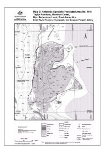 |
| 5110 | Taylor Rookery, Specially Protected Area No.1 topographical map | 1998 | 1 : 5000 |
 |
| 5111 | Taylor Rookery, Specially Protected Area No.1, Orthophoto Map | 1998 | 1 : 5000 |
 |
| 8139 | Te?ya | 1975 | 1 : 5000 | |
| 2284 | Telen Glacier | 1987 | 1 : 25 000 | |
| 2222 | Teoya Islands | 1966 | 1 : 5000 | |
| 5444 | Tereshkov Oasis (4 sheets) | 1970 | 1 : 10 000 | |
| 2972 | Tereskovoj Oazis sheet 1 | 1972 | 1 : 10 000 | |
| 2973 | Tereskovoj Oazis Sheet 2 | 1972 | 1 : 10 000 | |
| 2974 | Tereskovoj Oazis sheet 3 | 1972 | 1 : 10 000 | |
| 2975 | Tereskovoj Oazis sheet 4 | 1972 | 1 : 10 000 | |
| 2292 | Tottuki Point | 1986 | 1 : 25 000 | |
| 2291 | Trillingbukuta | 1987 | 1 : 25 000 | |
| 12728 | Verner Island and Petersen Island [Penguin Colonies : Topographical map] | 2000 | 1 : 6000 |
 |
| 12725 | Verner Island and Petersen Island Penguin Colonies : Orthophoto map | 2000 | 1 : 5000 |
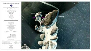 |
| 12722 | Verner Island and Petersen Island topographical map | 2000 | 1 : 10 000 |
 |
| 2281 | Veslestabben | 1985 | 1 : 25 000 | |
| 2294 | Vesthovde | 1985 | 1 : 25 000 | |
| 12729 | Welch Island [Penguin Colonies : topographical map] | 2000 | 1 : 6500 |
 |
| 12726 | Welch Island Penguin Colonies : Orthophoto map | 2000 | 1 : 5000 |
 |
| 12723 | Welch Island topographical map | 2000 | 1 : 10 000 |
 |
| 2366 | West of Mt. Hutago (Langhovde) | 1996 | 1 : 2500 | |
| 12875 | West of Yotuike Valley (Langhovde) | 1999 | 1 : 2500 | |
| 5350 | West Ongul Island | 1964 | 1 : 5000 | |
| 2204 | West Ongul Island (Northern Part) | 1994 | 1 : 2500 | |
| 2203 | West Ongul Island (NorthWestern part) | 1994 | 1 : 2500 | |
| 2201 | West Ongul Island (Southeastern part) | 1994 | 1 : 2500 | |
| 2200 | West Ongul Island (southern part) | 1994 | 1 : 2500 | |
| 2202 | West Ongul Island (Southwestern part) | 1994 | 1 : 2500 | |
| 2209 | West Teoya | 1994 | 1 : 2500 | |
| 12856 | Western Part of Hamnenabben (Langhovde) | 1999 | 1 : 2500 | |
| 5304 | Western Part of Ongul | 1970 | 1 : 10 000 | |
| 12876 | Yatude Valley (Langhovde) | 1999 | 1 : 2500 | |
| 12877 | Yotuike Valley (Langhovde) | 1999 | 1 : 2500 | |
| 2285 | Ytre Hovdeholmen | 1987 | 1 : 25 000 |